GOwin's Comments
| Post | When | Comment |
|---|---|---|
| Just starting! | We’re glad to have you, and we’re excited to see more of your OSM edits soon! If you’re interested in doing small edits while you’re on the move, check out the easy mobile options (e.g. MapComplete, StreetComplete) or if you prefer something more advanced: Vespucci, or EveryDoor. On Apple, I think the consensus is GoMaps! (iOS, macOS) is an awesome editor. |
|
| Disaster Respond | Hi there! Can you elaborate about the source of the map you linked to, and their licensing? |
|
| Point Of Inters (POI) | That’s cool. You may find it interesting to know that there are many OSM-based apps that can utilize these photos, in case you’re interested in sharing any. I think the easiest to use for capturing any would be the MapComplete themes, which will let you add any photo for many POIs or features. |
|
| Point Of Inters (POI) | Thank you for making OSM awesome! 🫡 Do you also bother to add the photos on street-level imagery services (Panoramax, Mapillary, Kartaview)? |
|
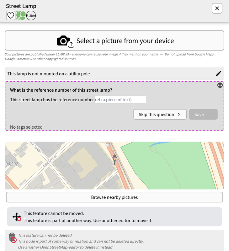
| Physically visiting the location is fun | Kudos! Mapping on the ground is always a different kind of mapping experience. Apart from POIs, and road surfaces, there are countless other things you can do, depending on your interest and time you want to spend for it. Here are some ideas: * checking for new and defunct POIs, * opening hours, * street addresses, * improving (wheelchair) accessibility* kerbs and crossings, * traffic signals * adding building names, entrances Have you tried collecting imagery? If you’re not planning to collect street-level imagery using Panoramax, or Mapillary, you can try to collect photos of the features themselves (e.g. especially interesting streetlamps, maybe?). Check out the Streelight theme is available from MapComplete, and it has the ability to take photos.
|
|
| 10 Years of OpenStreetMapping | What a milestone! Kudos! Thank you for your contributions, and I hope that you will remain motivated to share your local knowledge, and improve OSM. |
|
| 가산동 라이브 방송 스튜디오 세븐시스템 | Hi there, and welcome to OpenStreetMap (OSM)! There are no official (mobile) app for OpenStreetMap, but there are numerous third-party developers who make their own apps, and utilize OSM data in various ways. Here’s a wiki page of some known apps for iOS: osm.wiki/Comparison_of_iOS_applications You may also find web certain web apps interesting: osm.wiki/Category:Web_software. A web app I really enjoy using is OsmAPP: osm.wiki/OsmAPP |
|
| Obstbäume | Thanks for sharing the repo. Have you had any chance to try the trees theme from MapComplete: https://mapcomplete.org/trees ? |
|
| Obstbäume | That sounds interesting! Where can we find the “Treewarden” app, and is there an English interface? |
|
| My profile in english langage (Mon profil en langue anglaise) | I’m glad that you decided to write a diary entry of your OSM experience. You managed to summarize it quite nicely, and I hope that you’ll continue to have fun while contributing to the project. |
|
| Back to Mapping after a Long Hiatus, and Renaming from "Ngawit" to "Ngawit Aman Daniw" | Hello! Welcome back sa OSM, at maraming salamat sa mga ambag mo. Masarap pakinggan sa tenga ang pangalang “Daniw”, sana ay magdulat siya ng saya sa’yo, kasasama ng mga mahal mo sa buhay. Congratulations, and good luck to being a parent! Are you keen in knowing what other local contributors are doing? Check out the channels on the platform you’re already on: osm.org/wiki/PH |
|
| My Bussness Map | Hello! Welcome to OpenStreetMap. If you’re keen to show anything on the map, like your business, you will have to edit the map, rather than writing a diary post about it. You should be able to learn basics iD editing, after a few minutes of following the built-in walk-through Or, if you want to do it rather quickly, use your OSM account and simply add it using OsmAPP, and add the essential details (business hours, address, contact information) After adding, you should be able to see it immediately on the map, while it may take a few hours (or weeks) for third-party apps to show the same. If you’re curious about the OSM communities in the Philippines, check out the channels they maintain out and whether they’re also in the same platform you’re already in. There are folks who can help you with questions related to mapping in general, or specific questions about OpenStreetMap. |
|
| … and wait 1 or 2 days | Great sleuthing! Thanks for the find, and keep us posted. :) |
|
| OpenStreetMap始めて見ました。 | これは、始めるのに役立つかもしれません: |
|
| 最近建物を追加しても反映されない? | The data itself will be added to the OSM database immediately, and depending on which map layer you’re talking about, rendering the same on a map can take anywhere between a few minutes, or a few weeks. Sometimes, your browser’s cache won’t let you see the change immediately. Try to force reload a page in your browser (in Firefox, the keyboard shortcut for that is pressing these keys together: CTRL+SHIFT+R) |
|
| Wie komme ich zur Openstreetmap-Karte der unerledigten Hinweise | A favorite tool I use for reviewing OSM notes: https://ent8r.github.io/NotesReview |
|
| 月形町のマッピングを振り返る | To “delete” a building using a lifecycle prefix “was:building”=* is useful when the available aerial imagery (which could be a few years old) is outdated, and still shows a building, but in real life may have been removed. There’s also “raze:building=” for buildings actively removed. |
|
| Capturing local spatial knowledge with Pen & Paper | Hello @mschaub. Thank you for your work in improving SMT! Definitely something that deserves a space in our toolbox, and we are excited about features to make it better. I updated the diary entry, to reflect the factual error you caught. Thanks! |
|
| A map-py day in Tagbilaran City | @cquest Yes, of course. It’s the original that gets uploaded to Panoramax. |
|
| AlayData @ Intramuros, celebrating Open Data Day in Manila | On behalf of all the folks the made it happen, thanks for the kind words, @stevea! |