AkuAnakTimur's Comments
| Changeset | When | Comment |
|---|---|---|
| 90782389 | over 5 years ago | > Analogue (similar) practices around the world were not mapped like this as well. This is regarding areas of stricter lockdowns which may be found elsewhere globally. |
| 90782389 | over 5 years ago | landuse=military suggests an area for any kind of military-related activities e.g. camps, administrative offices and the likes. Analogue (similar) practices around the world were not mapped like this as well. Still, I'm happy to be corrected. Sure, there may be some inclination to actually show these on a map. Since this is a (hopefully) temporary non-physical feature, it would be best to be shared through e.g. uMap: https://umap.openstreetmap.fr/en/ Even countries under military leadership are not wholly mapped as a landuse=military. |
| 90321454 | over 5 years ago | You sure this should be mapped as a trunk link? way/453657110 |
| 85568248 | over 5 years ago | Sorry, the first link should point to way/284665037 |
| 85568248 | over 5 years ago | Hi. Many thanks for responding. Although the adjacent one-way highway (https://drive.google.com/file/d/1ESxNP25bR-B3G4TK0aMroXGCrYQi8kw2/view?usp=sharing) bears the plain ref of "K308" - see https://drive.google.com/file/d/1ESxNP25bR-B3G4TK0aMroXGCrYQi8kw2/view?usp=sharing - I will treat "K308/1" as a unique reference code as it is. To be honest, this is my only observation of a reference code appended with a forward slash so far. |
| 85568248 | over 5 years ago | Why the reference code of these have been amended slightly? Check this photo I snapped on Friday (2020-08-22)
|
| 88816329 | over 5 years ago | Also, I've been around Lebuh Armenian/Masjid Kapitan Keling late November 2019. Unless I'm dense, not realising there was a park full of greens, like, oh, wow! in the vicinity. |
| 87513806 | over 5 years ago | ... and OpenStreetCam to aid observing the width of driveways. They are narrower than the typical residential highways, and usually not paved with asphalt |
| 87421368 | over 5 years ago | Ground truth from 2016 definitely screams an unclassified highway |
| 87473560 | over 5 years ago | And way/272795236 is one-way traffic |
| 87473560 | over 5 years ago | Sorry, I mean traffic between way/272795236 and way/182655008 |
| 87473560 | over 5 years ago | Really doubt to have way/822363096 mapped because traffic can only go in to/out from way/182655008 only |
| 87167050 | over 5 years ago | Are you really sure the street way/819689397 has all those properties, including reference code K682? |
| 87016403 | over 5 years ago | Some comments: roads around the area way/818672478 has individual house units (rather than a row of houses just nearby). I believe those are private, individual driveways; rather than interlinked residential highways. I've already changed those. |
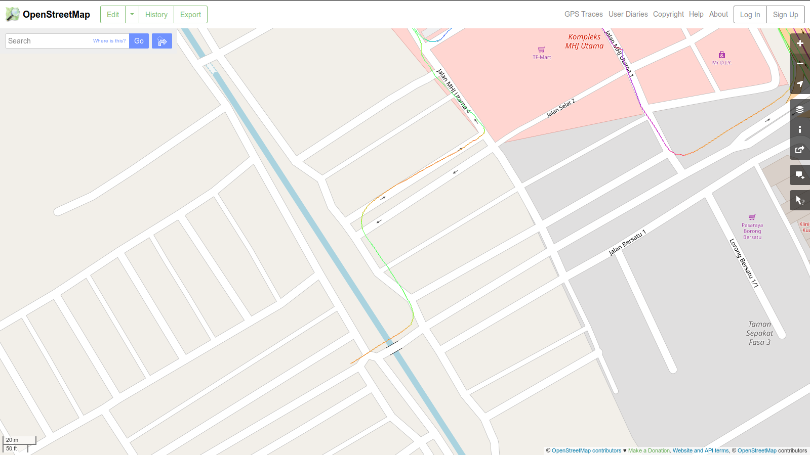
| 87081381 | over 5 years ago | https://pewu.github.io/osm-history/#/way/317619147 I'm really positive that way/317619147 is unnecessarily having all those zig-zags. Check out GPS tracks made available publicly. I went through here on an underbone motorcycle, last November and managed to collect GPS tracks around this area: |
| 82283001 | over 5 years ago | Sources of street names... please state where did you get all these? Машинный перевод:
|
| 86725881 | over 5 years ago | Although what your team is mapping for consistency; sometimes, roads in these kind of purposely built housing estates would throw some kind of logic away. |
| 86725881 | over 5 years ago | Hello, thank you for your reply. This is a recently built housing area (try to compare between nearby ones that re older), so more or less, the difference between a highway=residential and highway=service is stark. P.S. Let me know if this is not a clear answer. |
| 86587511 | over 5 years ago | Sharp observation. |
| 86761891 | over 5 years ago | It might look so inconsistent, but I prefer if we stick to the ground truth. |