
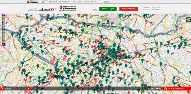
A project of the Sao Paulo city hall is using the OpenStreetMap tiles in its website. The project named Mapeamento Colaborativo - Gestão Urbana SP (Collaborative Mapping - SP Urban Management) allows the Sao Paulo inhabitants to appoint problems and suggest solutions to the problems of the city
Link: http://mapa.gestaourbana.prefeitura.sp.gov.br/
Discussion
Comment from robert on 23 July 2013 at 09:38
Pity all the markers seem to be floating in mid air.