mappatman's Notes
Notes submitted or commented on by mappatman
| Id | Creator | Description | Created at | Last changed | |
|---|---|---|---|---|---|
| 1911665 | mappatman | Info gone via StreetComplete 13.0 Attached photo(s):
|
|||
| 2596934 | mappatman | da sind zwei Hydranten, beide Unterflur sehr knapp beisammen. Ist das wirklich so? |
|||
| 4046278 | mappatman | I think this is not a(n) (official) track. Something starts at the other side of the bridge but it is quite hard to see and actually blocked by a sign. I recommend removing this track. #OsmAnd |
|||
| 2342219 | Solderdot | Dieser Abschnitt des Weges (zwischen den beiden Brücken) ist gesperrt. Fotos zeigen die obere Absperrung, die untere sieht ähnlich aus. via StreetComplete 22.3 Attached photo(s):
|
|||
| 3372365 | radnaj | According to the sign posts, it is forbidden to park in all the way |
|||
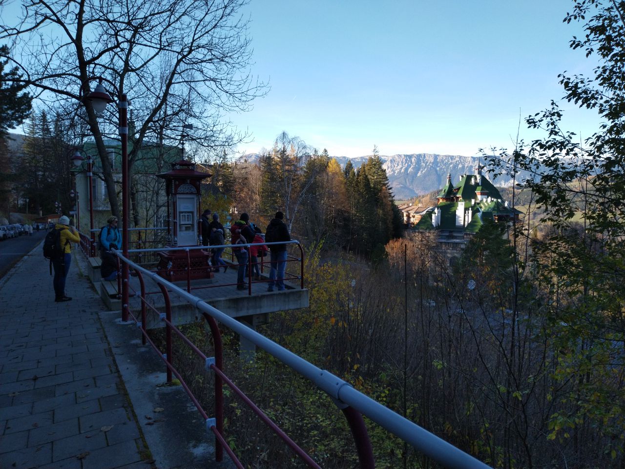
| 2426533 | mappatman | Unable to answer "What kind of building is this?" for way/639192961 via StreetComplete 26.2: Plattform Attached photo(s):
|
|||
| 4049613 | "Does not exist "
|
||||
| 388769 | Die Fritz-Steinbachstraße ist mit dem Rad zu befahren!
|
||||
| 3718789 | Jos Schnell | Café, glutenfreie, laktosefrei, zuckerfrei |
|||
| 1909470 | mappatman | Here is no path via StreetComplete 13.0 Attached photo(s):
|