
Natural disasters happen at anytime and anywhere in the world. Unfortunately on this occasion, an 6.8 magnitude earthquake affected the southwest Peru that mainly hit the Arequipa and Ayacucho departments.
Given this, the OSM Peru community called for a #MapeoColaborativo, where Development Seed’s data team as part of the community has participated actively in mapping and validation of the 6 tasks that were opened for the affected provinces, in which more than 7000 objects between buildings and roads were mapped.
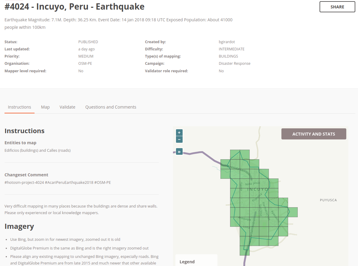 Incuyo province 100% mapped and validated
These data are important to bring humanitarian aid and give immediate response to the affected places and are available for use by Government institutions such as National Emergency Operations Center (COEN), National Institute of Civil Defense (INDECI), and any organization or initiative that responds to emergency events.
Discussion
Comment from GOwin on 28 January 2018 at 08:28
That’s awesome @karitotp.
Thank you, too, for your team’s awesome help in our mapping effort around Mayon Volcano, in the Philippines.
Comment from Heather Leson on 11 February 2018 at 14:56
Great collaborations