jc86035's Comments
| Changeset | When | Comment |
|---|---|---|
| 64220592 | about 7 years ago | Are you sure about this? To me it seems more appropriate to use motorway_link on both ways, although I'm not entirely sure if that would be correct. |
| 63765861 | about 7 years ago | Multiple name:xx keys are in use to represent the same things (e.g. zh-traditional, zh_hant, zh-hant and zh-Hant for Traditional Chinese), so I have been changing them to the ISO codes, with upper case H to match xx-Latn usage. A while ago I did the same for name:zh-yue to name:yue. |
| 63760120 | about 7 years ago | Per changeset/62474451 I've reverted this edit. |
| 63760120 | about 7 years ago | JOSM says they changed name=United States to name=United States of America. |
| 63401876 | about 7 years ago | Hello, welcome to OpenStreetMap. Please note that if you're able to add Chinese names, you should add them wherever possible (in Hong Kong the convention is to put the Chinese name and then the English name in the main name field, and then add English and Chinese separately as multilingual names, with keys name:en and name:zh). Also, you should indicate individual tennis courts if you can draw them separately (see sport=tennis). Also also, I don't think it's accurate to describe Ocean Terminal Deck as a mall. I haven't been there but https://www.discoverhongkong.com/eng/see-do/highlight-attractions/harbour-view/ocean-terminal-deck.jsp indicates that it might be better labelled a viewpoint (tourism=viewpoint). |
| 63340314 | about 7 years ago | I've reverted your changeset because you can't add a website as a physical object. If Questions House has an office or other physical location you can add it with "website=https://www.questionshouse.com". |
| 62366513 | over 7 years ago | @BaKaUma the changeset is actually completely erroneous (addition of highway=footway to outline of harbour area), so I'll be reverting this. |
| 61936406 | over 7 years ago | Hello, welcome to OpenStreetMap. I've moved the new object to its correct position and made some other changes (changeset/61938507). |
| 61520682 | over 7 years ago | Thanks. |
| 61463741 | over 7 years ago | Fanling station is in Hong Kong, which means it uses the tagging convention of including both the Chinese name and the English name in name=* (in that order). |
| 61520682 | over 7 years ago | Welcome to OpenStreetMap. Please avoid copying from copyrighted maps without permission (see osm.wiki/Copyright). |
| 60369041 | over 7 years ago | Hi, welcome to OpenStreetMap. Please be aware that imagery is usually misaligned and distorted by a few metres, and this road seems to have already been aligned to GPS data last year (by someone working for Apple). |
| 60381229 | over 7 years ago | I've split the supermarket and the mall. Does the address apply to ac1 or to all of Aberdeen Centre? I've removed the address information for now but you can always add it back. |
| 60381367 | over 7 years ago | Hi, welcome to OpenStreetMap. This is incorrect, because the mall needs to be a separate object, so I've reverted your edit. If you want to add the shopping mall, please add it as a separate object which does not already represent something else. |
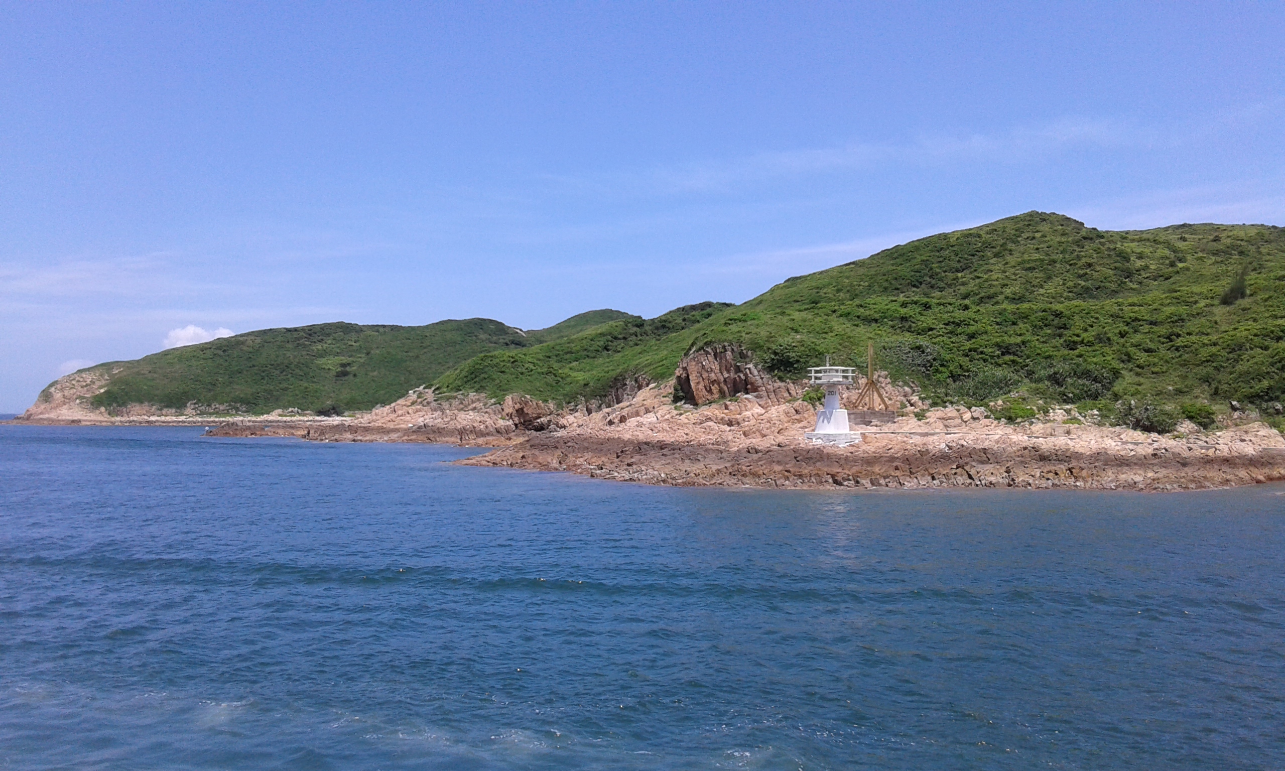
| 59888567 | over 7 years ago | Is this actually a lighthouse? It's not on Wikipedia's list of Hong Kong lighthouses and the image in the island's Wikipedia article (https://upload.wikimedia.org/wikipedia/commons/5/51/Town_Island_%2814%29.jpg) shows it as being only a few metres tall. |
| 57087753 | over 7 years ago | I've removed the park tagging for these two objects, since they do not appear to have been designated yet. |
| 56776517 | over 7 years ago | He also seems to have duplicated stations in Vancouver and Beijing (and probably elsewhere). Maybe an email should be sent to the mailing list or something? |
| 56776517 | over 7 years ago | cantor34 also edited a lot of other stations (I reverted his edit on Fanling station). Admiralty station currently has an "Island Line" relation and a "South Island Line" relation created by him, both part of the same parent relation. One or two of those should be deleted at some point. |
| 56776517 | over 7 years ago | The building=train_station issue is https://github.com/gravitystorm/openstreetmap-carto/issues/2504. I think if you were to delete the extra nodes and use JOSM to revert the station areas to what they were before cantor34's edits (and merge the relations at Admiralty station) then you could fix it for now. |
| 56776517 | over 7 years ago | @freayd, cantor34 is unlikely to respond to the changeset comments, since they have had three months to do so. I don't know if there is a standardized method of tagging for metro station outlines. building=railway_station (e.g. Sai Ying Pun) currently renders incorrectly in Mapnik by covering all the other buildings, and railway=station (e.g. HKU) appears to set landuse for the entire outline unless building=yes is used. I don't know if it is appropriate to use a building=* tag for a fully underground structure, and it was suggested to me once that the tunnels should only be mapped as highway=footway (e.g. East Tsim Sha Tsui). For what it's worth, the completely-mapped set of underground stations in Moscow uses the highway=footway model. The MTR has fairly large underground concourses so I don't know if it would be totally appropriate, but I think it would be good to draw the footway and escalator/lift networks in any case, since they definitely exist and can be mapped. |