
Pista ng Mapa Experience 2019!
Posted by geoleighyers on 20 September 2019 in English. Last updated on 21 September 2019.If you could take a look at the OpenStreetMap mapping efforts and mapping-related events, they are mostly concentrated in Metro Manila. One day, OpenStreetMap local community (OSMLoCos) had a wild idea that piqued the interest of many OSMPH volunteers (including me!): “What if we organize an event in the South (Visayas or Mindanao)?”
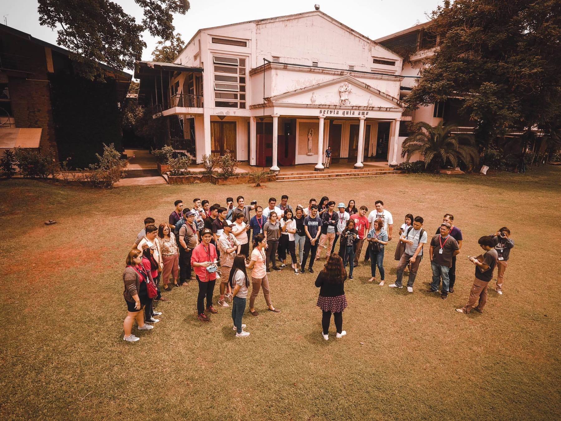
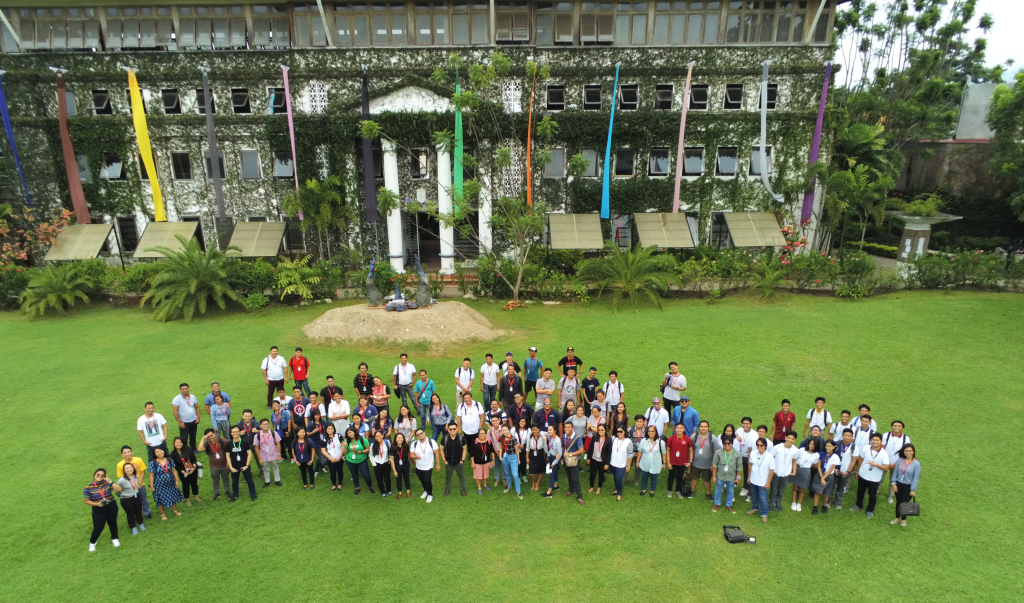
With proper coordination, marketing skills and ardent volunteers, last August 1-3, 2019, OSM PH invited mapping enthusiasts to be part of the first of many Pista ng Mapa (Festival of Maps) at Foundation University, Dumaguete. This was a great opportunity for people outside of Metro Manila to participate in a mapping event for FREE! I gladly sign up for this event in the hopes of meeting fellow mappers and get to visit the beautiful island of Dumaguete.

Mr. Rene Sanapo from The Asia Foundation sets the tone for the rest of the event by discussing the need for Filipino mappers to expand their mapping efforts outside of the National Capital Region (NCR). A great insight to empower OSM contributors to generate more data outside main cities in Metro Manila and to organize more mapathons.
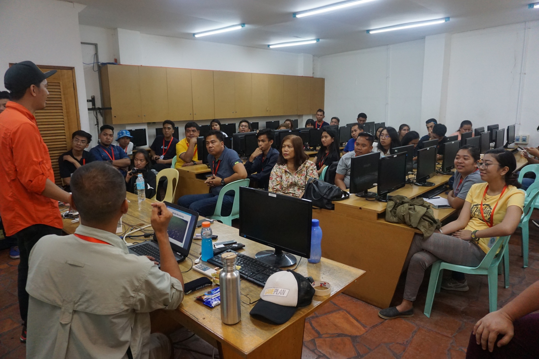
The event was overflowing with passionate speakers and facilitators. Everyone was hyped up. Workshops and talks were diverse and very informative. There’s something for beginners, intermediate or advanced mappers to enjoy and learn from. More importantly, the event had a welcoming and enthralling ambiance which were perfect in encourage the participants to be active and build mappy relationships!
 mapbox king of south east asia
I was grateful that the OSMPH core organizers allowed me to be part of the program and I got to share my mapping experience. I was particularly involved with the Drone Team and Geoladies PH.
“DIY” Imagery Collection for Mapping workshop had many attendees. Drones are popular in the mapping community and as drone pilots, we have to teach other people in the future to fly responsibly. Bunny and Ian discussed important things people need to know about such as the rules and regulations in the Philippines, applications of drones in mapping and post-processing the images to generate orthophotos and digital elevation models. Ian and I demonstrated how to use mapping applications for flying such as Pix4D capture using DJI Phantom 4 and Parrot Anafi. Everyone was eager to learn and we can only hope that they can apply it in their respective fields. We’re delighted to share our experience on the field as RPAS controllers to the OSM community. On the last day of the community, my task was to do an aerial survey of the school and its nearby community. I uploaded the orthophoto and elevation model on [OAM](https://tinyurl.com/yxrf92zu) .
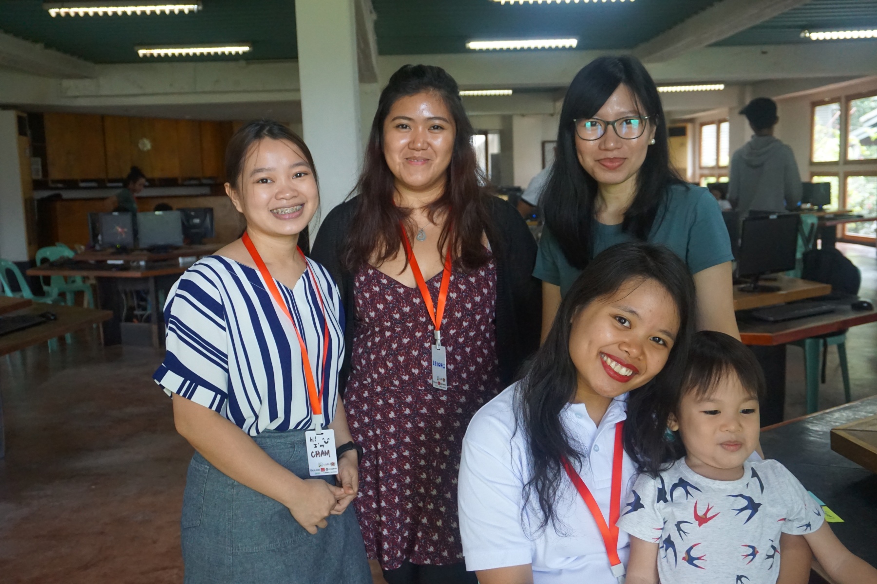
“When Women Map” was the first-ever workshop organized by Geoladies PH (https://www.facebook.com/geoladiesph/). The OSM PH organizers made an effort to make space for women in the geospatial community and we took this opportunity to put women's perspective on the map. The participants were composed of women, participants who identified themselves as women and men supporting women. This is quite different from the rest of the workshops I attended because we used arts and crafts material to teach women how to identify ourselves on the map.
We grouped the participants spatially and we asked them to map out their chosen area (without help from online or offline maps!) and identify places which are important for them. The workshop started off a little stiff, for most of the participants, we introduced an unconventional way for them to map out their local areas. It was amazing to watch the tribes (groups) work together, showed their creativity and personal experiences on their work. We also asked them to share their creation as a group and we found out some important areas for women are: ukay-ukay (thrift shops, market, church, hospital child-safe places, places to go on a date, to drink and forget feelings.
Geoladies PH members: Jen, Nalie, Cham and I were given a few minutes to share our own experiences as mappers. We’re different women with different mapping perspectives. We also acknowledge that men and women have different perspectives and both are equally (spatially) important in the fabric of our mapping society. Geoladies PH are encouraging that women shouldn’t take the backseat but instead, to take control, find their “space” to grow.
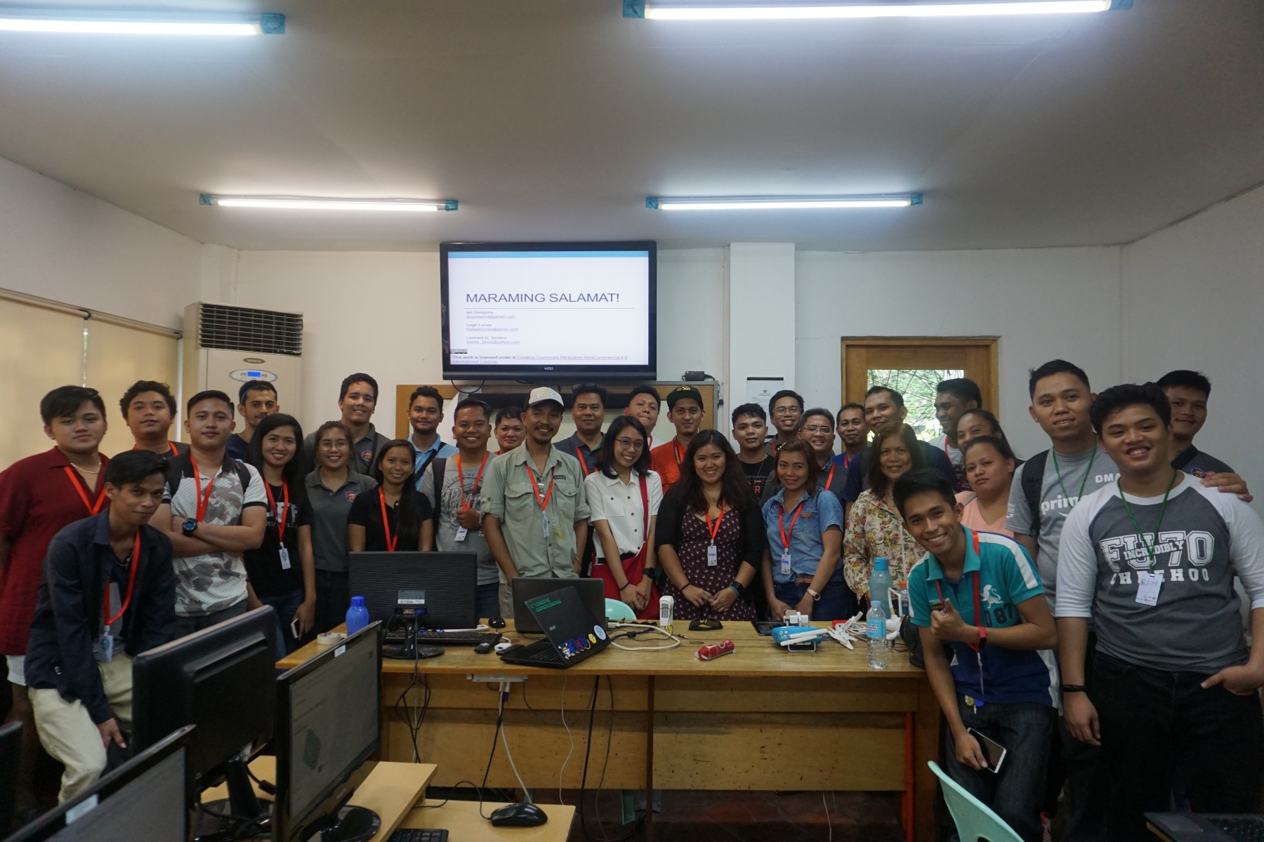
We ended the Pista ng Mapa on a high note leaving participants wanting more and volunteers driven. This is just the beginning of the first of many PnM events!.
Hey! Since I can’t quite figure out how OSM Diary works, I also posted this on a personal blog: https://geoleighyers.wordpress.com/
Discussion
Comment from arnalielsewhere on 8 December 2020 at 07:54
Bat ngayon ko lang to nabasa!!! Huhu memories of PnM 2019 and face-to-face conference! Plus Dumaguete!!! <3 <3 <3