What do people think about adding archaeologist_name and archaeologist:wikidata to archaeological sites that have been excavated? It is very niche, I know, but it would help find literature about the excavation, once you have the name of the site director and the location, it should be possible to find literature associated.
It would be very similar to what we do with artwork and associating the artist with it.
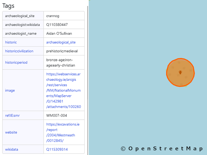
I’ve started doing it, but only for two sites so far (1 and 2), because I happened to know who excavated there and because they have wikidata entries.
It would be a great job for all the Time Team fans out there! #justsaying
And I’m not trying to make OSM into a history map, in my defence; I still map a lot of contemporary things.
Discussion