… and following on from the previous entry, Maps for Garmin devices at map.atownsend.org.uk now show crossing details too:
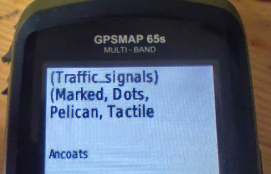
The following tags from the top-level feature are shown:
traffic_signalsorcrossing- The value of
crossingif it adds extra information - The value of
crossing:island,crossing:marked,crossing_refetc. if they add extra information. - Information from
tactile_pavingandkerb.
All of this might be truncated for length (it is here), but the most important information does appear.
Discussion