MxxCon's Comments
| Changeset | When | Comment |
|---|---|---|
| 133788595 | almost 3 years ago | Hello.
|
| 133783360 | almost 3 years ago | Hello.
|
| 133762140 | almost 3 years ago | Wouldn't it be better to change this polygon from residential landuse to just neighborhood polygon?
|
| 133765664 | almost 3 years ago | Hello.
Also please note that this feature was already mapped last month in relation/5318175
|
| 133762140 | almost 3 years ago | Why remove this area?
|
| 133738716 | almost 3 years ago | opening_hours:signed=no, yet have opening_hours=?🤨
|
| 133738482 | almost 3 years ago | wheelchair=yes;no?🤨
|
| 133738267 | almost 3 years ago | Hello.
|
| 133738100 | almost 3 years ago | Hello.
|
| 133738100 | almost 3 years ago | Hello.
|
| 133678982 | almost 3 years ago | Please note that you are NOT allowed to use Google Map or TomTom to map in OSM! It is copyright violation. Please read osm.wiki/FAQ#Why_don't_you_just_use_Google_Maps/whoever_for_your_data?
|
| 133675807 | almost 3 years ago | Those nodes seem more like educational/informational pins rather than showing something exact on the map that exists right now, not 22000 years ago. |
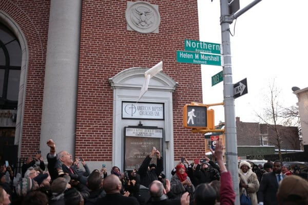
| 133676059 | almost 3 years ago | https://qns.com/wp-content/uploads/2017/12/helenmarshall_2017_12_15_q01_z.jpg
|
| 133708133 | almost 3 years ago | Hello.
|
| 133678982 | almost 3 years ago | Hello.
|
| 133676059 | almost 3 years ago | Hello.
|
| 133675807 | almost 3 years ago | Hello.
For some reason you deleted building=yes tag from the existing feature, tagged that it's underground and instead mapped another church building on top of it? That is most definitely incorrect way to map things...
|
| 133673413 | almost 3 years ago | Hello.
|
| 133604515 | almost 3 years ago | I wouldn't say too drastic, but I also don't think the original mapping was overly "node-y".
|
| 133633385 | almost 3 years ago | Hello.
|