
Well, It seems that political and administrative boundary in Indonesia is missing in level greater than 4
According to https://wiki.openstreetmap.org/wiki/Tag:Tag:boundary=administrative, here in Indonesia we divide administrative boundary into 10 as following:
- N/A
- National Border
- N/A
- Province
- City / Regency (Kotamadya / Kabupaten)
- Subdistrict (Kecamatan)
- Village (Kelurahan / Desa)
- Hamlet (Dusun)
- Community Group (Rukun Warga)
- Neighborhood Unit (Rukun Tetangga)
for anyone concern about regulation / legal or law, this boundary is SHOULD be provided by BIG, Badan Informasi Geospasial, a national body for geospatial information. You can download their official “peta” (it’s map in Bahasa) from their website, NOT!
Well, it’s not their fault … I’ve heard that they “lack of cost”, it’s actually lack of funding … but as THE ONLY OFFICIAL BODY in Indonesia who has authority to publish administrative boundary, they should concern more with their tax payer money … aren’t we?
God bless Indonesia …
Discussion
Comment from MapMakinMeyers on 18 December 2017 at 14:43
You can download the Desa boundaries. The difficult part is having them agree to us importing into OSM, and you have to get the larger OSM community to agree on the import (*which is just as difficult).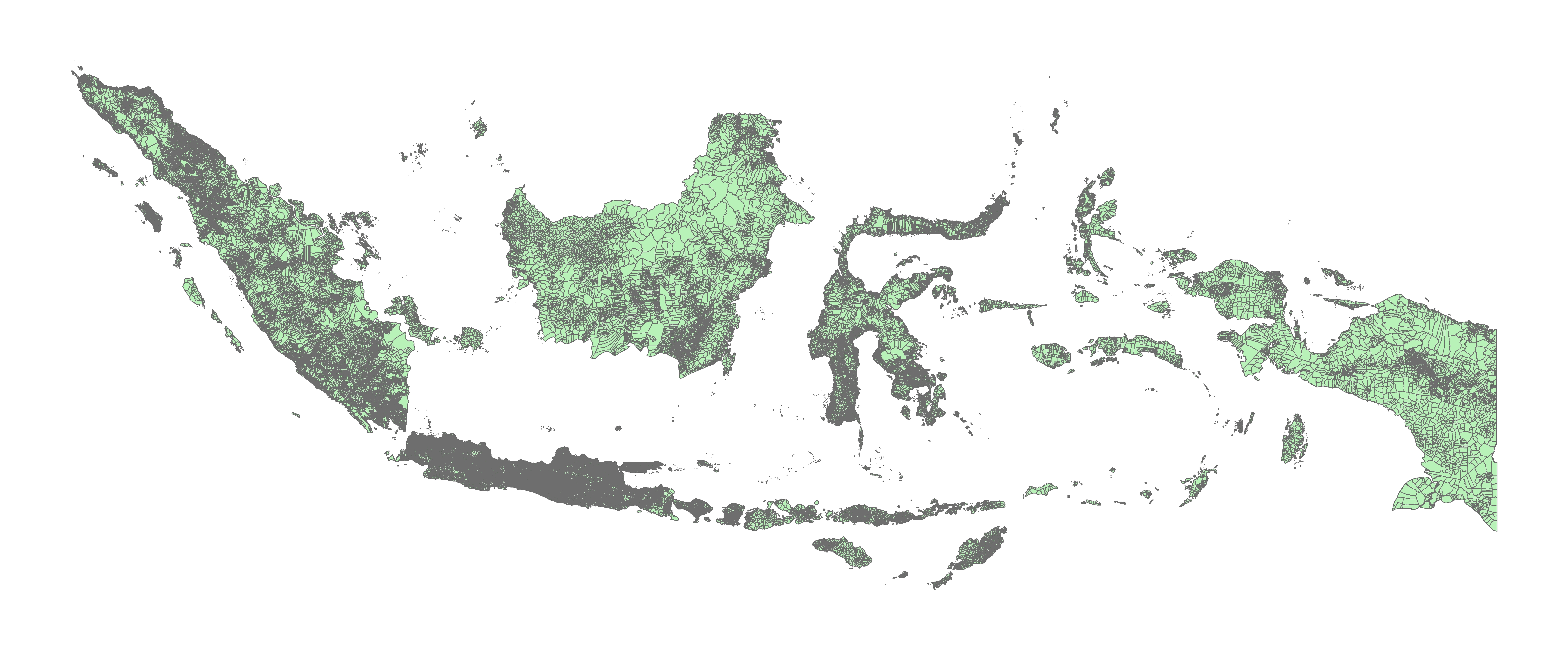
Comment from wonderchook on 18 December 2017 at 15:07
In my experience, much of the data isn’t available in the first place. For example much work has been done to collect RW and RT boundaries in a few cities.
You will find a bit more information on OpenStreetMap.id: https://openstreetmap.id/blog/
Comment from Kampar on 20 December 2017 at 15:22
Wow … thanks for the comments … it really surprise me … sorry for being offline for a couple of days… got cough and lil fever … The weather in Pekanbaru’s killing me now …
btw, Hi https://www.openstreetmap.org/user/MapMakinMeyers, can I get a shape file for all desa 2017 as in your attached image, please … I need it as my lecture material here :D :grin: … please …
and btw, congratulation for your 3333 edits in OSM … wow …
https://www.openstreetmap.org/user/wonderchook, thanks for mentioning OpenStreetMap.id