File:Herrenhaus Oberzetzscha.jpg
Jump to navigation
Jump to search
Size of this preview: 800 × 600 pixels. Other resolutions: 320 × 240 pixels | 640 × 480 pixels | 1,024 × 768 pixels | 1,280 × 960 pixels | 2,560 × 1,920 pixels | 2,816 × 2,112 pixels.
Original file (2,816 × 2,112 pixels, file size: 1.15 MB, MIME type: image/jpeg)
This file and its description are from Wikimedia Commons.
Summary
| Description |
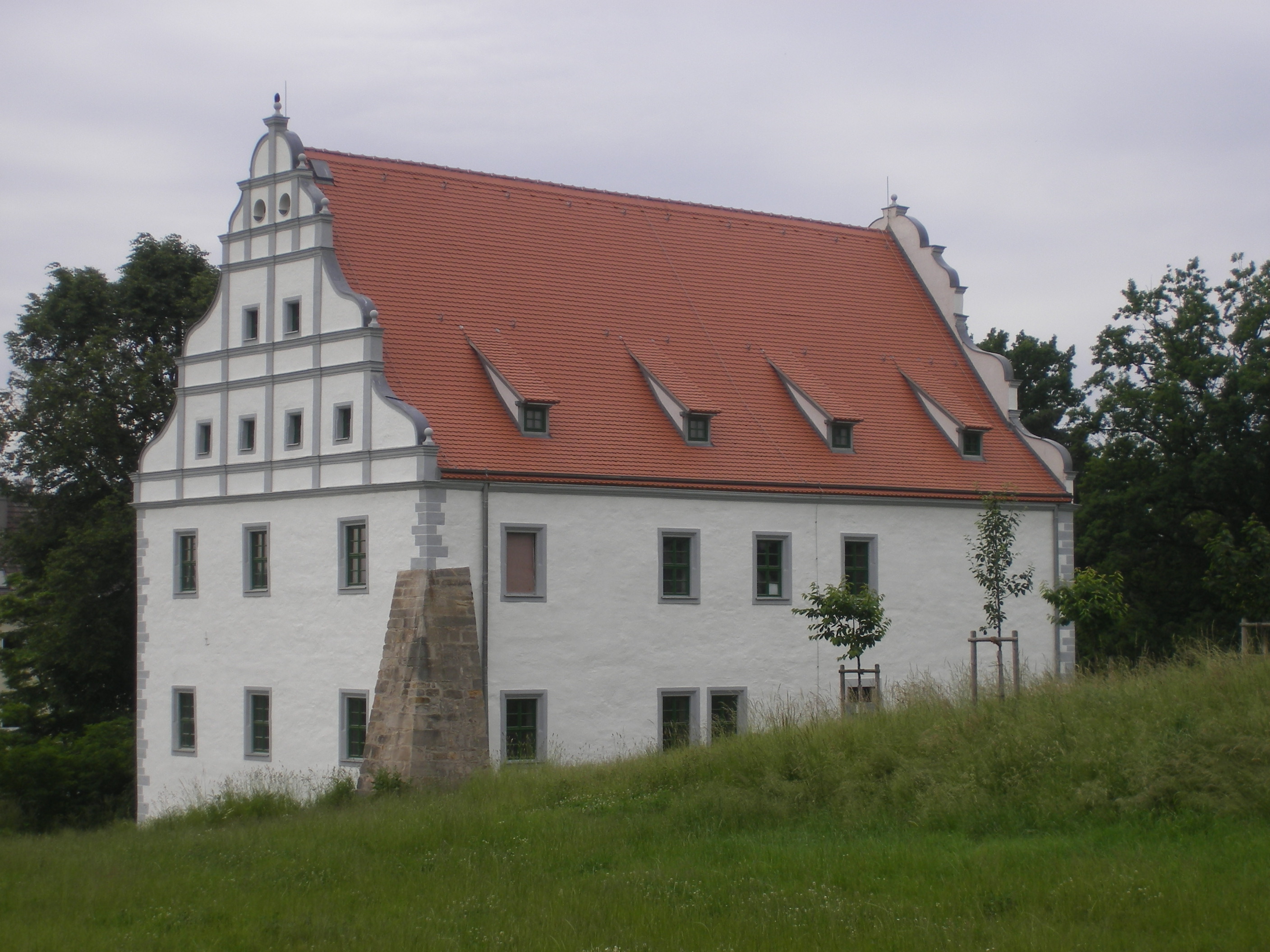
English: The Manor house in Oberzetzscha, a district of Altenburg/Thuringia in Germany.
Deutsch: Das Oberzetzschaer Herrenhaus in Ostthüringen |
| Date | |
| Source | Own work |
| Author | Lucas Friese |
| OpenStreetMap | Way 204118308 |
| Object location | | View this and other nearby images on: OpenStreetMap |
|---|
Licensing
| I, the copyright holder of this work, release this work into the public domain. This applies worldwide. In some countries this may not be legally possible; if so: I grant anyone the right to use this work for any purpose, without any conditions, unless such conditions are required by law. |
File history
Click on a date/time to view the file as it appeared at that time.
| Date/Time | Thumbnail | Dimensions | User | Comment | |
|---|---|---|---|---|---|
| current | 19:19, 11 October 2010 | | 2,816 × 2,112 (1.15 MB) | wikimediacommons>Lucas Friese | {{Information |Description={{en|1=The Manor house in Oberzetzscha, a district of Altenburg/Thuringia in Germany.}} {{de|1=Das Oberzetzschaer Herrenhaus in Ostthüringen}} |Source={{own}} |Author=Lucas Friese |Date=2010 |Permission=no |
File usage
The following 4 pages use this file: