File:Garmin GPSmap7015.jpg
Jump to navigation
Jump to search
Size of this preview: 800 × 600 pixels. Other resolutions: 320 × 240 pixels | 640 × 480 pixels | 1,024 × 768 pixels.
Original file (1,024 × 768 pixels, file size: 155 KB, MIME type: image/jpeg)
This file and its description are from Wikimedia Commons.
Summary
| Description |
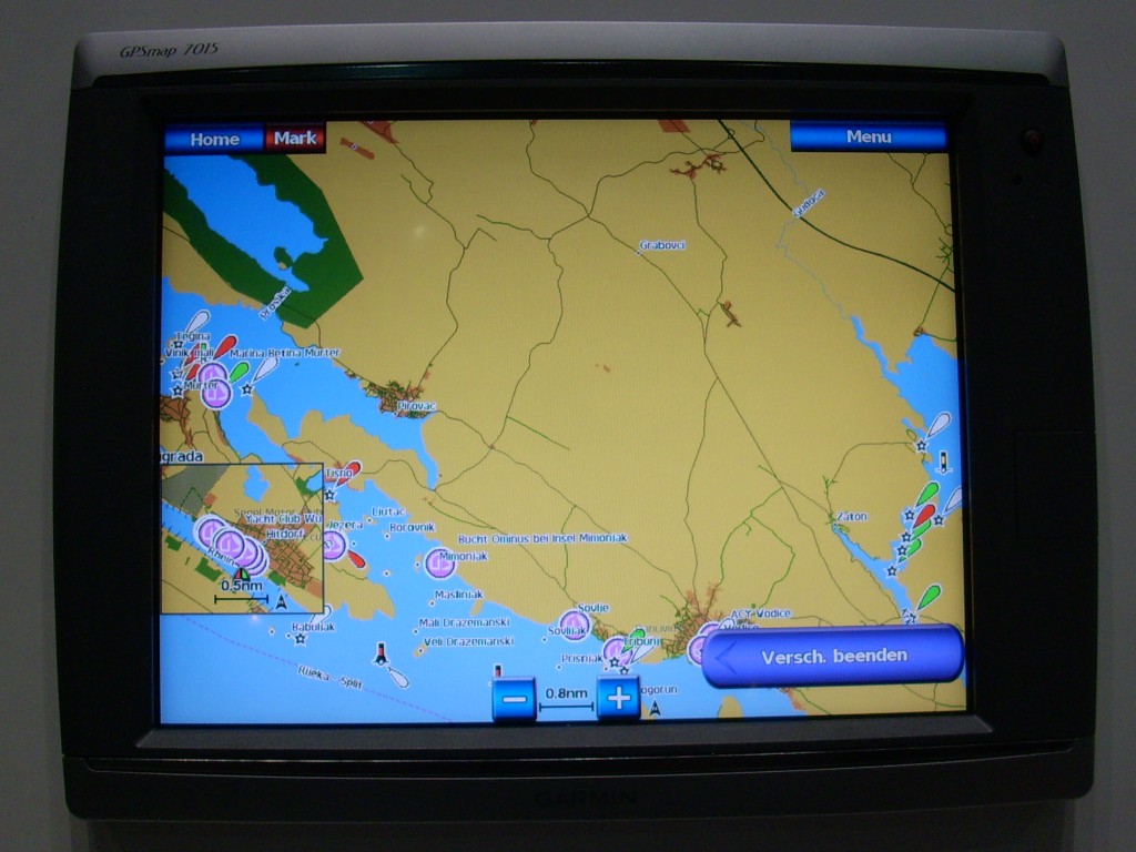
English: Garmin GPSmap7015 seachart plotter with OpenSeaMap nautical chart |
| Source | Own work |
| Author | Markus Bärlocher |
Licensing
I, the copyright holder of this work, hereby publish it under the following license:
| This file is made available under the Creative Commons CC0 1.0 Universal Public Domain Dedication. | |
| The person who associated a work with this deed has dedicated the work to the public domain by waiving all of their rights to the work worldwide under copyright law, including all related and neighboring rights, to the extent allowed by law. You can copy, modify, distribute and perform the work, even for commercial purposes, all without asking permission.
|
File history
Click on a date/time to view the file as it appeared at that time.
| Date/Time | Thumbnail | Dimensions | User | Comment | |
|---|---|---|---|---|---|
| current | 14:46, 19 April 2013 | | 1,024 × 768 (155 KB) | wikimediacommons>Markus Bärlocher | {{Information |Description ={{en|1=Garmin GPSmap7015 seachart plotter with OpenSeaMap nautical chart}} |Source ={{own}} |Author =Markus Bärlocher |Date = |Permission = |other_versions = }} |
File usage
The following 3 pages use this file: