File:Flag of Côte d'Ivoire.svg
Jump to navigation
Jump to search

Size of this PNG preview of this SVG file: 512 × 341 pixels. Other resolutions: 320 × 213 pixels | 640 × 426 pixels | 1,024 × 682 pixels | 1,280 × 853 pixels.
Original file (SVG file, nominally 512 × 341 pixels, file size: 184 bytes)
This file and its description are from Wikimedia Commons.
Summary
| Description |
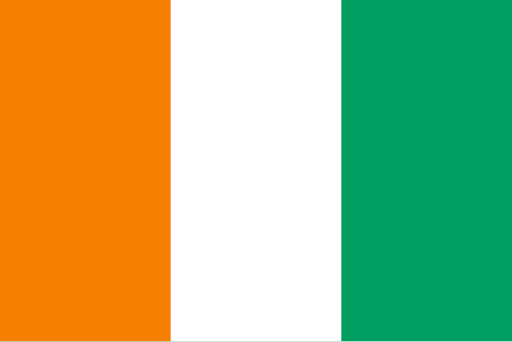
Français : Drapeau de la Côte d'Ivoire
Deutsch: Die Flagge der Elfenbeinküste.
Tiếng Việt: Quốc kỳ Bờ Biển Ngà.
Español: Bandera de Costa de Marfil. Proporciones: 2:3
Italiano: Bandiera della Costa d'Avorio.
|
|||||||
| Date | ||||||||
| Source | Own work | |||||||
| Author | See File history below for details. | |||||||
| Permission (Reusing this file) |
|
|||||||
| Flag tincture (FR) | naranjaargentvert |
|||||||
| SVG development |
|


Colors
| Colours scheme |
R | G | B | Hex | Preview |
|---|---|---|---|---|---|
| Orange | 255 | 130 | 0 | #FF8200 | |
| White | 255 | 255 | 255 | #FFFFFF | |
| Green | 0 | 154 | 68 | #009A44 |
File history
Click on a date/time to view the file as it appeared at that time.
| Date/Time | Thumbnail | Dimensions | User | Comment | |
|---|---|---|---|---|---|
| current | 10:44, 28 July 2025 | | 512 × 341 (184 bytes) | wikimediacommons>Kaim Amin | Colour correction per article |
File usage
The following 48 pages use this file:
- Africa
- Ar:إفريقيا
- Country-Specific Aerial Imagery
- Cs:Tag:route=train
- Default speed limits
- List of OSM centric Facebook accounts
- List of OSM centric Twitter accounts
- List of territory based projects
- OSM tags for routing/Maxspeed
- Past Events 2015
- Past Events 2016
- Past events 2019
- Power networks
- Power networks/Ivory Coast
- State of the Map
- State of the Map Africa
- State of the Map Africa 2015
- State of the Map Africa 2017
- State of the Map Africa 2019
- State of the Map Africa 2021
- State of the Map Africa 2023/Logo Contest
- Tag:boundary=administrative
- Tag:route=train
- Tzm:ⵟⴰⴼⵔⵉⴽⵜ
- Zh-hans:List of territory based projects
- User:Ez duce
- Template:Admin level
- Template:Countries of Africa
- Template:FR:Admin level
- Template:SotmAfrica
- Category:FR:State of the Map Africa
- Category:FR:State of the Map Africa 2017
- Category:State of the Map Africa
- Category:State of the Map Africa 2015
- Category:State of the Map Africa 2017
- Category:State of the Map Africa 2019
- Category:State of the Map Africa 2021
- Category:State of the Map Africa 2023
- Category:State of the Map Africa 2025
- FR:Key:admin level
- FR:Page principale
- FR:State of the Map Africa 2019
- FR:Tag:route=train
- ES:Lista de cuentas de Twitter centradas en OSM
- ES:Tag:route=train
- RU:List of OSM centric Twitter accounts
- JA:OSMを中心としたFacebookアカウントの一覧
- JA:OSMを中心としたTwitterアカウントの一覧