yasslay's Notes
Notes submitted or commented on by yasslay
| Id | Creator | Description | Created at | Last changed | |
|---|---|---|---|---|---|
| 3527048 | DanGlover | Need to check whether Lower Herne Road is still connected to the re-aligned Bullockstone Road - also add stubs at roundabout for new Herne Relief Road and check whether access tracks are still connected to new alignment. |
|||
| 3803002 | DanGlover | Check alignment of this section. My GPS track shows a smooth curve and the next ~150m to the north is slightly west of the mapped Way. Probably requires further GPS tracks - I'll make mine visible. |
|||
| 4482945 | Road is not one-way. There is access to and from Eddington Lane from the roundabout. |
||||
| 4103582 | Gregory Williams | New playground via StreetComplete 56.1 Attached photo(s):
|
|||
| 4016178 | Mex | These areas need extracting the wooded area here does not go up to the middle of road in watling street. |
|||
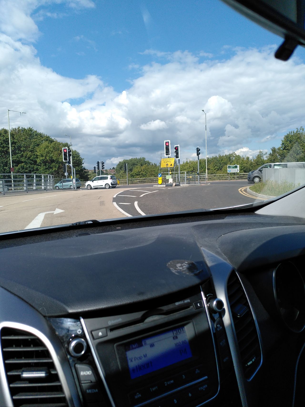
| 3856412 | theneilkirk | Check road layout via StreetComplete 53.3 Attached photo(s):
|
|||
| 2609367 | NastassiaKalesnikava | Check please. is there a one-way road here? |
|||
| 4207852 | Gregory Williams | We seem to have mixed tagging for both "maxspeed=20 mph" and "maxspeed=30 mph" for the new development here. Survey to determine what's correct, since I don't think it'll chop and change like it's currently tagged. |
|||
| 4207862 | Gregory Williams | Confirm whether this path is cycleable or not. |
|||
| 4207882 | Gregory Williams | Double-check whether this path has been constructed with the intention of shared pedestrian and cyclist use. It looks like it may be 3 or 4 metres wide, in which case it's likely shared use. |