OpenStreetMap logo OpenStreetMap

unsungNovelty's Diary

Recent diary entries

My memorable OSM edits

Posted by unsungNovelty on 14 November 2023 in English.

OpenStreetMap (OSM) is fun and fantastic for so many reasons. One being able to roam around the world from the comfort of your chair. I started mapping on OpenStreetMap in 2015 by coincidence through a friend. And OSM later became part of my work at Mapbox. Where I went through out the world as an armchair mapper. I used to maintain a list of interesting places as I encountered them. Then map it later when I am free. Here are my 3 memorable OpenStreetMap edits.

Valparai, Tamil Nadu, India

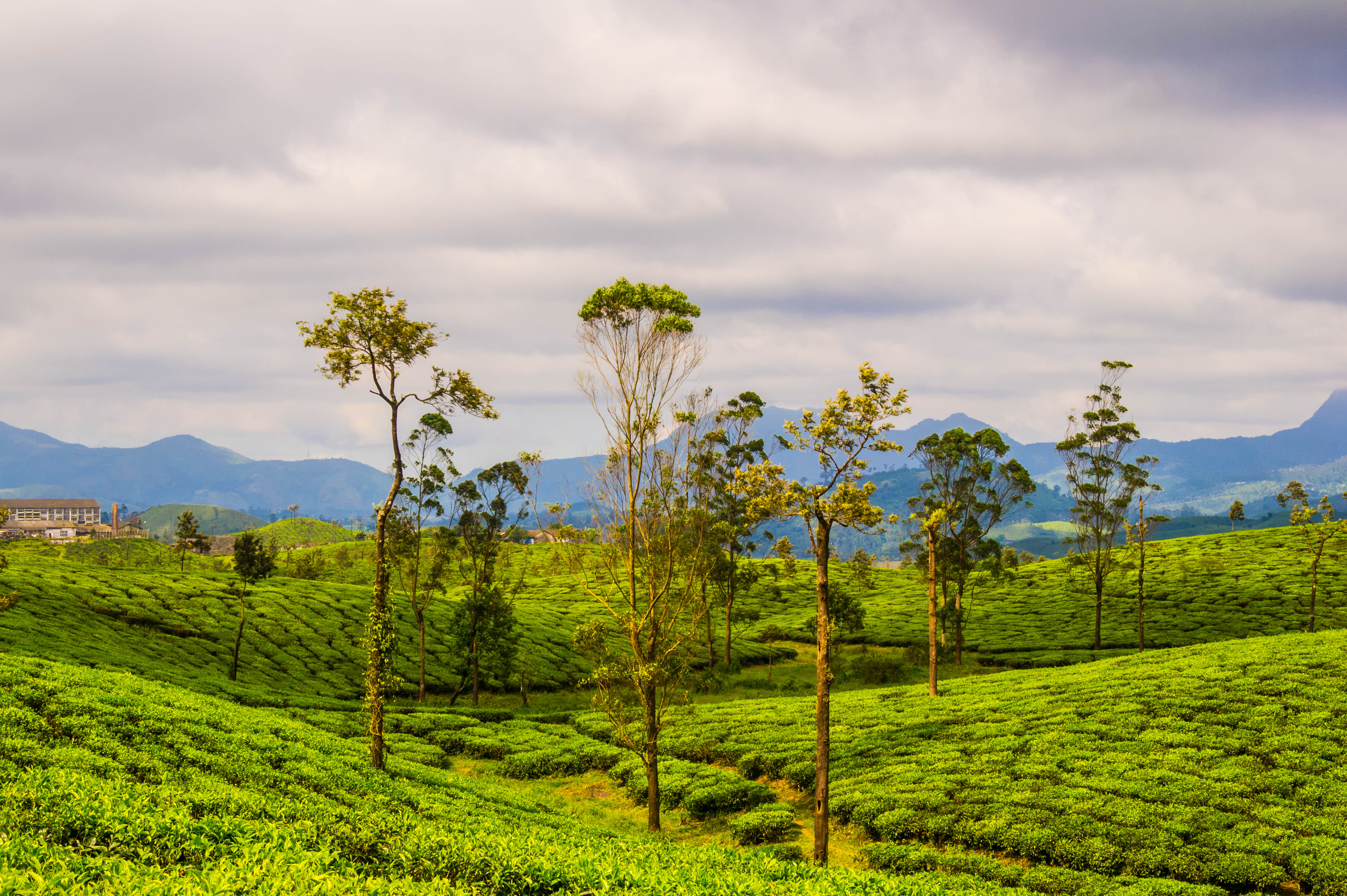
Tea plantations in Valparai by Thangaraj Kumaravel | Image license: CC BY 2.0 Deed

See full entry

At Mapbox, we have been looking to improve the coverage of road network in India, which is among the lowest in the world on OSM in comparison to CIA world factbook. We used the osm-coverage tile reduce processor to get a more granular breakdown of highway coverage per state. Comparing these numbers to those officially reported by the Ministry of Road Transport and Highway (MORTH) in India allowed us to better understand gaps in the coverage.

We used GEOnet Name Server’s (GNS) NGA data for the names of towns and villages which were missing in OSM and visualised these as WMS layer in JOSM. It helped us in figuring out the via points a national highway is passing and also in adding missing towns and villages.

After that, we extracted states that have the [lowest national highway coverage] (https://docs.google.com/spreadsheets/d/1uYmQEyZqP2tMe1cJYJUVcNIhFPCdzETsBh1kaSCZplI/edit#gid=818481766&vpid=A1) so that we can start to add/improve the roads one state at a time. We used road classification and tagging scheme for India as our guide for tagging the roads.

Improving highway coverage for a state:

We started with the state of Manipur which had only 67.98% coverage of the trunk road network (National Highways) in OSM. We were able to come up with a base workflow which could help anyone who is interested in improving the road network in India.

  • First step was to check whether the national highways were already marked in OSM. In order to check this, we used the statistics from MORTH and cross checked the same with the current OSM data.
  • Searching for the cities or towns through which a national highway passes was the next step. We used MORTH data for this.
  • For the cities and towns which are not marked in OSM, we used GNS’s NGA layer to get the approximate locations of the cities/towns. This helped us determine the via route, starting and ending point of a highway. To add the NGA layer follow this post

See full entry

Japan in OSM - The whole picture

Posted by unsungNovelty on 26 November 2015 in English. Last updated on 21 December 2015.

The past 2 months my team at Mapbox have been working full-time on one of our largest data projects to date - Realigning the highways of Japan on OSM, which is now reaching its final stages.

screenshot 2015-11-18 19 00 55

Japan looks thoroughly mapped on OSM and is dense with highways and local streets. On inspecting the data however, we found that most of the roads do not match the underlying satellite imagery or GPS tracks.

See full entry