thierry66ch's Notes
Notes submitted or commented on by thierry66ch
| Id | Creator | Description | Created at | Last changed | |
|---|---|---|---|---|---|
| 2826546 | thierry66ch | Chemin accessible, quel type ? |
|||
| 3282525 | thierry66ch | manque sentier herbeux |
|||
| 3401339 | thierry66ch | court tronçon accessible au public |
|||
| 3288607 | thierry66ch | Vérifier existence de ce chemin (Peu probablement selon SWISSALTI3D) |
|||
| 3275030 | thierry66ch | sentier à investiguer |
|||
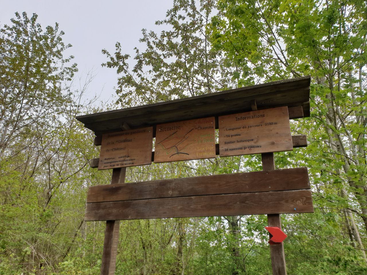
| 1782963 | thierry66ch | parcours de la Golettaz via StreetComplete 12.0 Attached photo(s):
|
|||
| 1783530 | thierry66ch | continuer le chemin |
|||
| 3927132 | thierry66ch | #todo pourquoi open route ne veut pas passer par ce chemin, qui suit le balisage officiel Suisse Rando ? |
|||
| 3275057 | thierry66ch | banc |
|||
| 3076463 | thierry66ch | table |