This is part of a series of blogs about my journey working on a collaborative Field Mapping tool, now called FieldTM:
pt1 here.
pt2 here.
pt3 here.
pt4 here.
Field Mapping: The Past
Paper Era
-
People actually used to have to write things down on paper, remember information in their heads, and talk to one another - damn! However ever did they manage?
-
In all seriousness, coordinating a mapping campaign before the 1990’s was probably a logistical nightmare. Paper maps, scrawled notes by field teams that had to be coordinated at the start of the day, then sent on their way.
-
No doubt, labour intensive and prone to error.
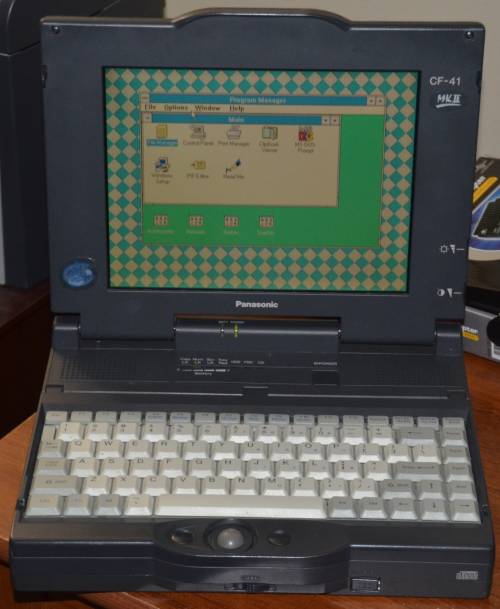
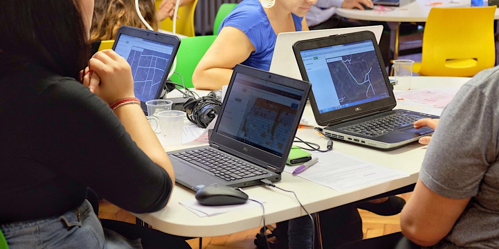
Digital Transition
-
With the advent of handheld GPS devices in the 1990s and early 2000s, digital coordinates could be logged in the field.
-
Paired with rugged PDAs or laptops running early GIS software like ArcPad, fieldwork became more accurate and geospatially aligned - but the workflow was still often clunky and required post-field data syncing.