queerthoughts's Notes
Notes submitted or commented on by queerthoughts
| Id | Creator | Description | Created at | Last changed | |
|---|---|---|---|---|---|
| 4422544 | Hier staat een opvallende linde |
||||
| 4422664 | Schooiersstraatje (hoofdletter) |
||||
| 4406472 | Camping closed, no longer in operation. The property is now residential and alarm-protected. |
||||
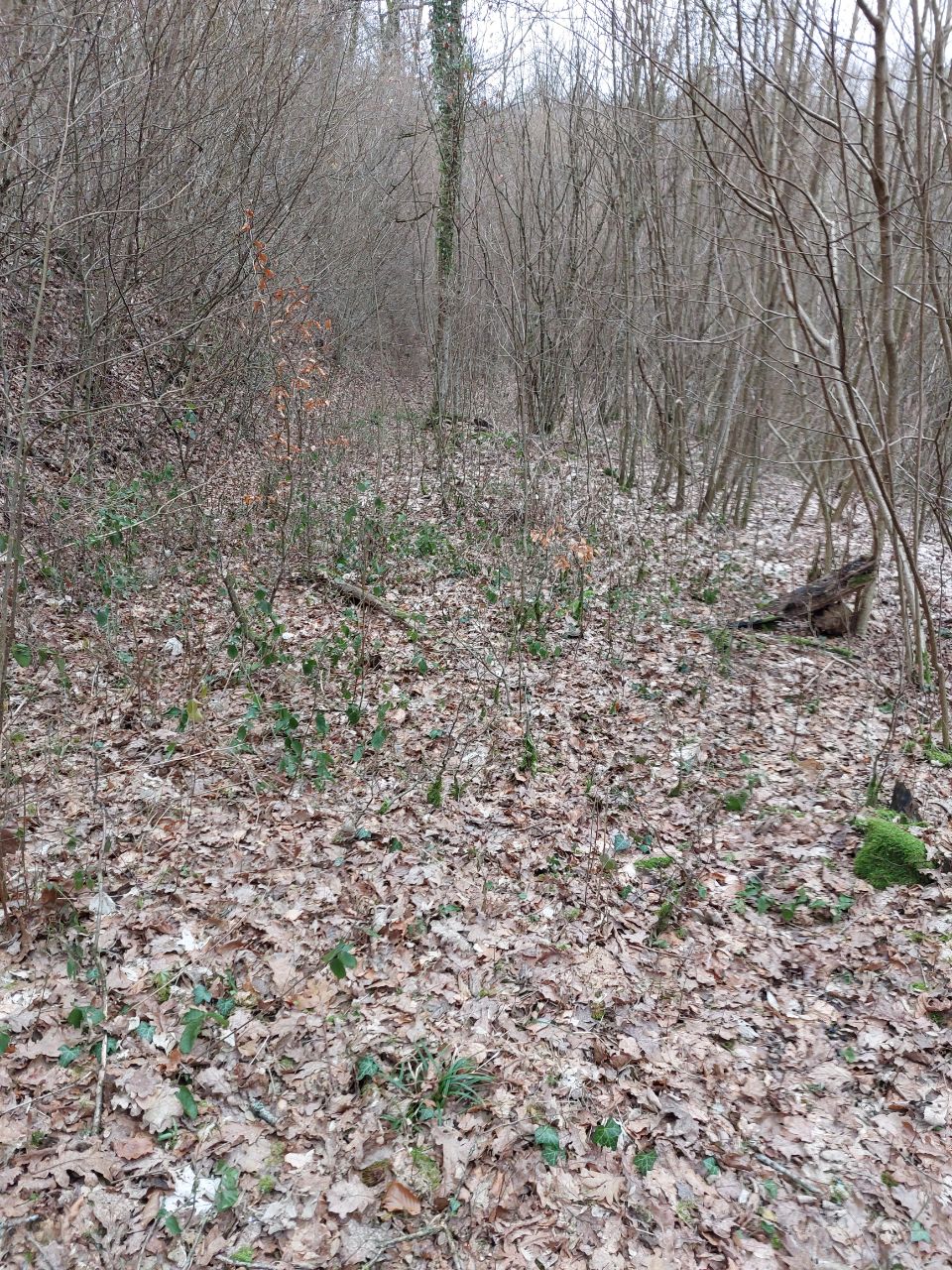
| 4064817 | Kugelbaum | Ends here. via StreetComplete 56.0 Attached photo(s):
|
|||
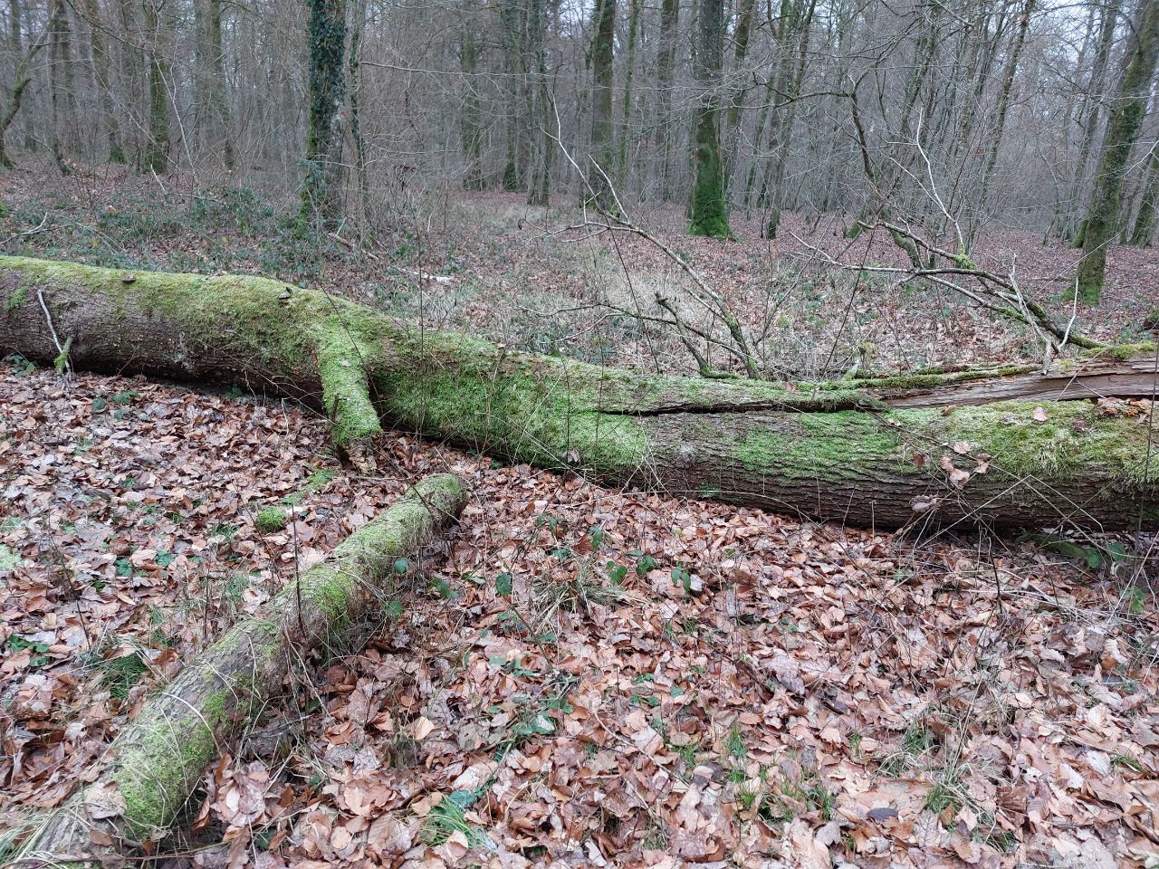
| 4065295 | Kugelbaum | In context of "Surfaces" overlay for way/1033594881 via StreetComplete 56.0: Vegetation, and private forest! Attached photo(s):
|
|||
| 4403278 | unlike the main river, this piece (and the bordering pieces) of mapped river are named Semois. The main river is named "La Semois".
|
||||
| 4366840 | alazeo | Unable to answer "Is there an air compressor available here?" – Total Wanlin (Gas Station) – node/1786674088 via StreetComplete 58.2: Compressor is there, but is currently broken. |
|||
| 4381141 | plicploc | Ici pavillon de chasse via StreetComplete 58.2 Attached photo(s):
|
|||
| 3318817 | Ik vraag me af hoe gebruikers van routeplanners op basis van osm ooit weten dat ze niet in dit bos mogen wandelen. Je mag pas in dit bos wandelen wanneer je lidgeld hebt overgemaakt en een badge hebt ontvangen. Dit kan dus niet ter plaatse gebeuren.
|
||||
| 3424034 | erreur |