mtrnord's Notes
Notes submitted or commented on by mtrnord
| Id | Creator | Description | Created at | Last changed | |
|---|---|---|---|---|---|
| 4449338 | mtrnord | Unable to answer "Where is this fire hydrant located?" – 200 (Pillar Fire Hydrant) – node/11025038076 via StreetComplete 59.0: Das ist ein Zugang im Wasserwerk ohne Schuld. Unklar ob das nach osm gehört |
|||
| 4317770 | mtrnord | Unable to answer "This shop has been vacant. What’s here now?" – node/1858243359 via StreetComplete 58.1: Hier ist nur Jack and jones |
|||
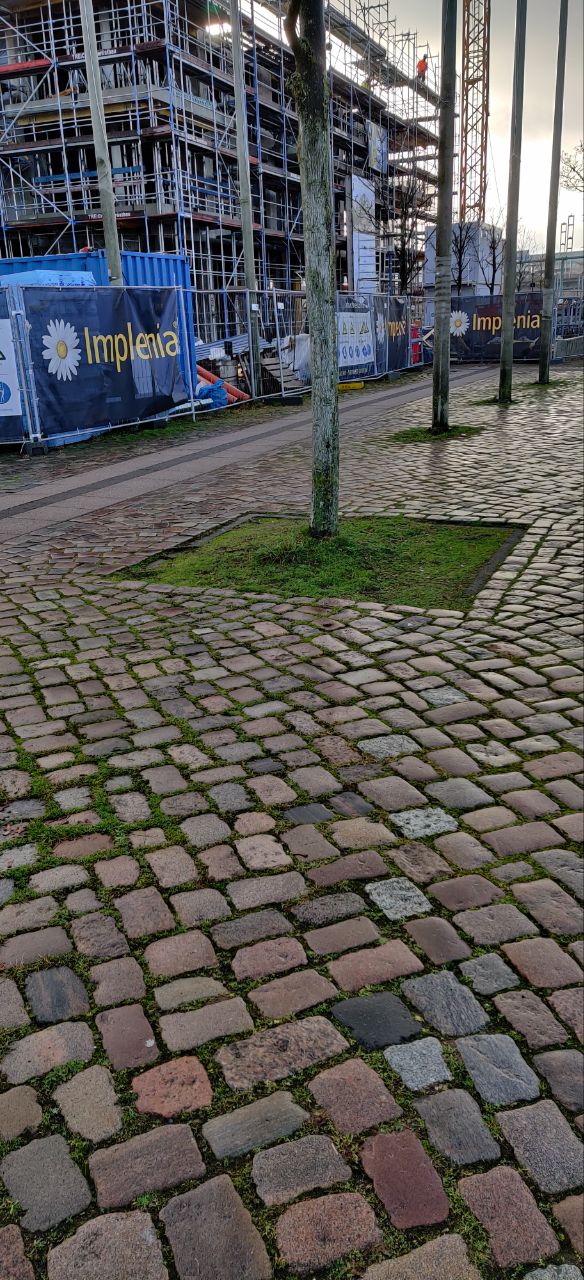
| 3510796 | mtrnord | Unable to answer "What type of bollard is this?" for node/415511477 via StreetComplete 50.2: Im laufe der Baustelle wohl verschwunden Attached photo(s):
|
|||
| 4000166 | mtrnord | Hier scheint eine a/b unterscheidung der Haushälften zu fehlen |
|||
| 4468983 | mtrnord | In context of overlay "Addresses" – way/1164274627 via StreetComplete_ee 59.1: Zur Straße ist 4C und nach hinten 4D Attached photo(s):
|
|||
| 4488470 | mtrnord | Unable to answer "What’s the surface here?" – Otterweg (Path) – way/86395616 via StreetComplete_ee 59.2: Der Weg existiert nicht mehr |
|||
| 4468982 | mtrnord | In context of overlay "Addresses" – way/1164274626 via StreetComplete_ee 59.1: Zur Straße hin ist 4A und hinten 4B Attached photo(s):
|
|||
| 3102207 | mtrnord | Fehlender hydrant via StreetComplete 41.2 Attached photo(s):
|
|||
| 4449315 | mtrnord | Unable to answer "What can be left here for recycling?" – Green Waste Container – node/991613900 via StreetComplete 59.0: Allgemeiner Müll mit Hunde Tüten. Zudem eher am Weg Ende. Hinter dem Weg Ende ist eine Wiese Attached photo(s):
|
|||
| 4449328 | mtrnord | Straße so nicht nachvollziehbar in echt. via StreetComplete 59.0 |