mstrbrid's Notes
Notes submitted or commented on by mstrbrid
| Id | Creator | Description | Created at | Last changed | |
|---|---|---|---|---|---|
| 2292400 | ndm | Current plans make this impossible for hgv vehicles -- is that true on the ground? |
|||
| 2572506 | ndm | Area at bottom of Saint Stephen's street needs survying; especially where any restriction starts, street name, etc. Modified currently to fixup broken motor_vehicle conditional, etc. |
|||
| 1298160 | DaveF | Is this section now a part of Saint Stephen's Street? Name plate? |
|||
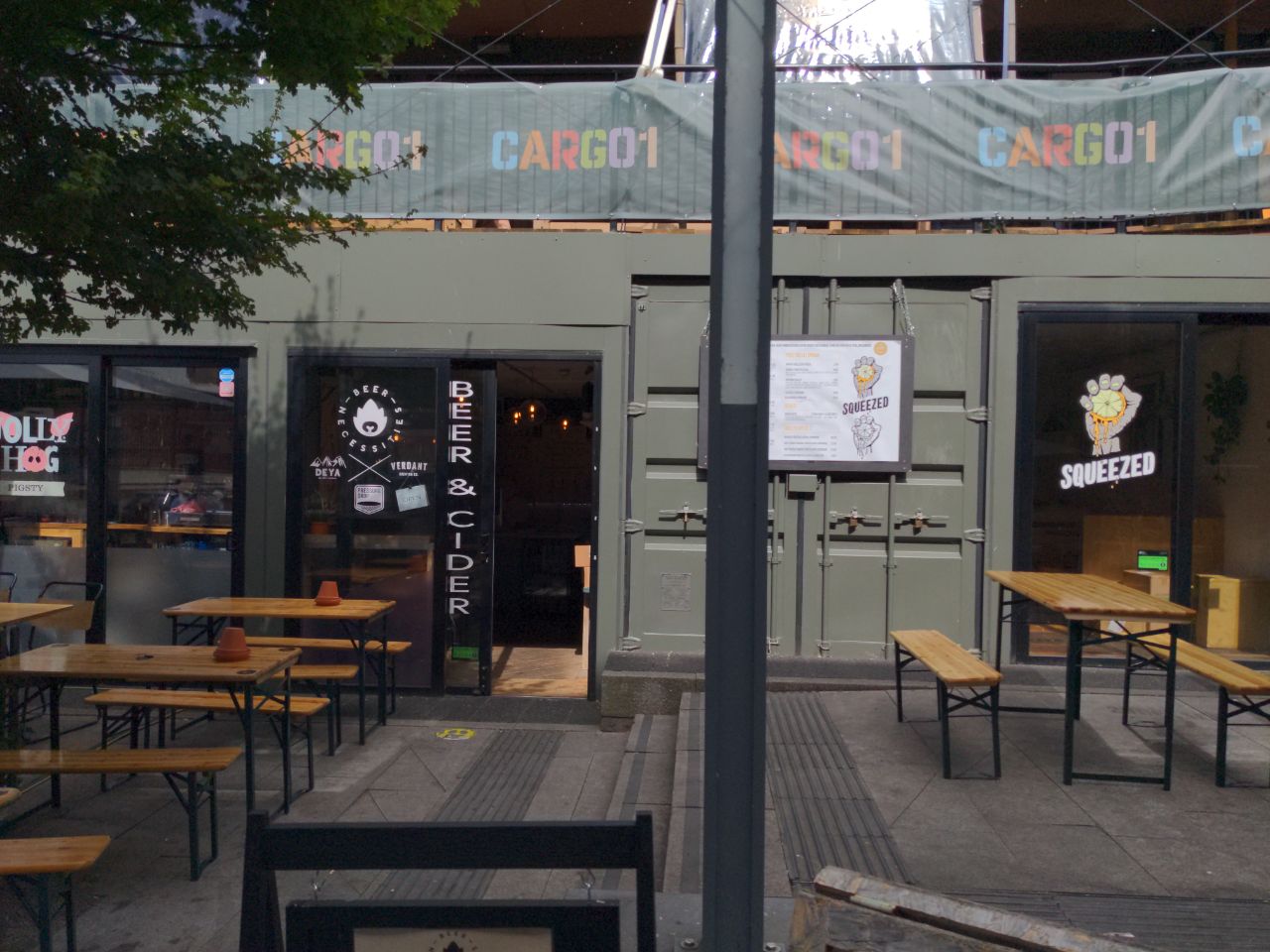
| 1701112 | ndm | More Cargo containers here. |
|||
| 3254700 | okwithmydecay | Beer Necessities next to The Jolly Hog via StreetComplete 45.0 Attached photo(s):
|
|||
| 3459210 | Chatterton's House |
||||
| 3336610 | Pan Perníček | Forwarding anonymous report from #Mapy.cz user, please verify: This should be marked as a path, not a footway. |