kuhni74's Notes
Notes submitted or commented on by kuhni74
| Id | Creator | Description | Created at | Last changed | |
|---|---|---|---|---|---|
| 4251481 | kuhni74 | ||||
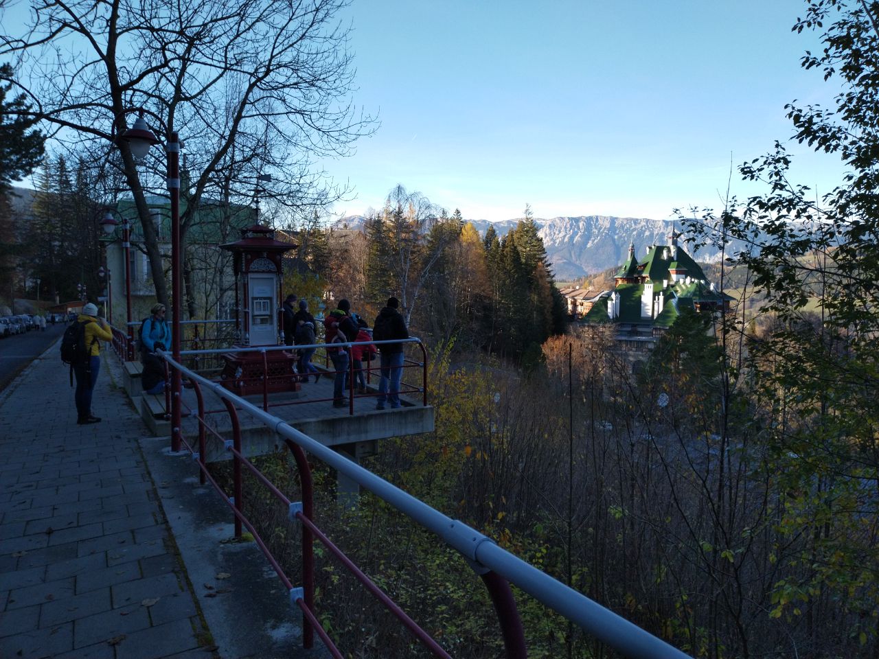
| 2426533 | mappatman | Unable to answer "What kind of building is this?" for way/639192961 via StreetComplete 26.2: Plattform Attached photo(s):
|
|||
| 4244797 | kuhni74 | ||||
| 4243498 | kuhni74 | asphaltierte Zufahrt |
|||
| 4243246 | kuhni74 | ||||
| 4243247 | kuhni74 | ||||
| 4243239 | kuhni74 | ||||
| 2249911 | Alan | This bit of coastline is wrong, according to multiple satellite sources. |
|||
| 4241538 | kuhni74 | Wanderwegrelation gelb vom Niemthal geht hier nach S weiter über Am Brand Richtung Kienthalkreuz |
|||
| 4241541 | kuhni74 | gelbe Markierung von Niemthal Richtung Kienthalkreuz |