
As part of the Ireland chapter of OpenStreetMap a few years ago I set up a tileserver and a map frontend that defaulted to showing placenames in the Irish language (Gaeilge). Recently I spent some time improving both these services.
Vector Tileserver
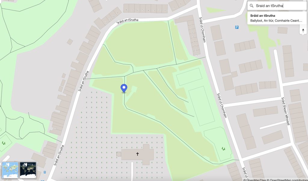
Previously the default style was named ‘ga’ and available at: https://tileserver.openstreetmap.ie/styles/ga However, last weekend I added a new ‘style’ named ‘sraid-v1’. You can take a look at it here: https://tileserver.openstreetmap.ie/styles/sraid-v1/ The screenshots below show a comparison. The new style is much brighter and has icons generated from Maki icons into a sprite sheet (see generate_sprites.py in the github repo). I also fixed a few things I didn’t like about the old ‘ga’ style.
If you are currently using tiles from tileserver.openstreetmap.ie and want to use the new ones, you will need to change the code where it currently points to:
https://tileserver.openstreetmap.ie/styles/ga/
You can now use:
https://tileserver.openstreetmap.ie/styles/sraid-v1/
So to use this vector tileset you might use something like the code below with MapLibreGL
var map = new maplibregl.Map({
  container: 'map',
  style: 'https://tileserver.openstreetmap.ie/styles/sraid-v1/style.json' + keyParam,
  hash: true,
  maxPitch: 85
});
The previous style ‘ga’ is still present so there should be no breaks in functionality if you choose to continue using the old style.
The code is available here: https://github.com/jonnymccullagh/irish-language-osm-tiles
 Any streets that do not have a tag for