Ski Nav – making a routing app
Posted by jancellor on 13 November 2019 in English. Last updated on 14 November 2019.Earlier this year I started looking into the mapping options available for skiers. On previous ski trips, I hadn’t discovered a satisfactory way of even just viewing a simple map, and it seemed that an interactive map with the ability to route over lifts and pistes ought to be possible.
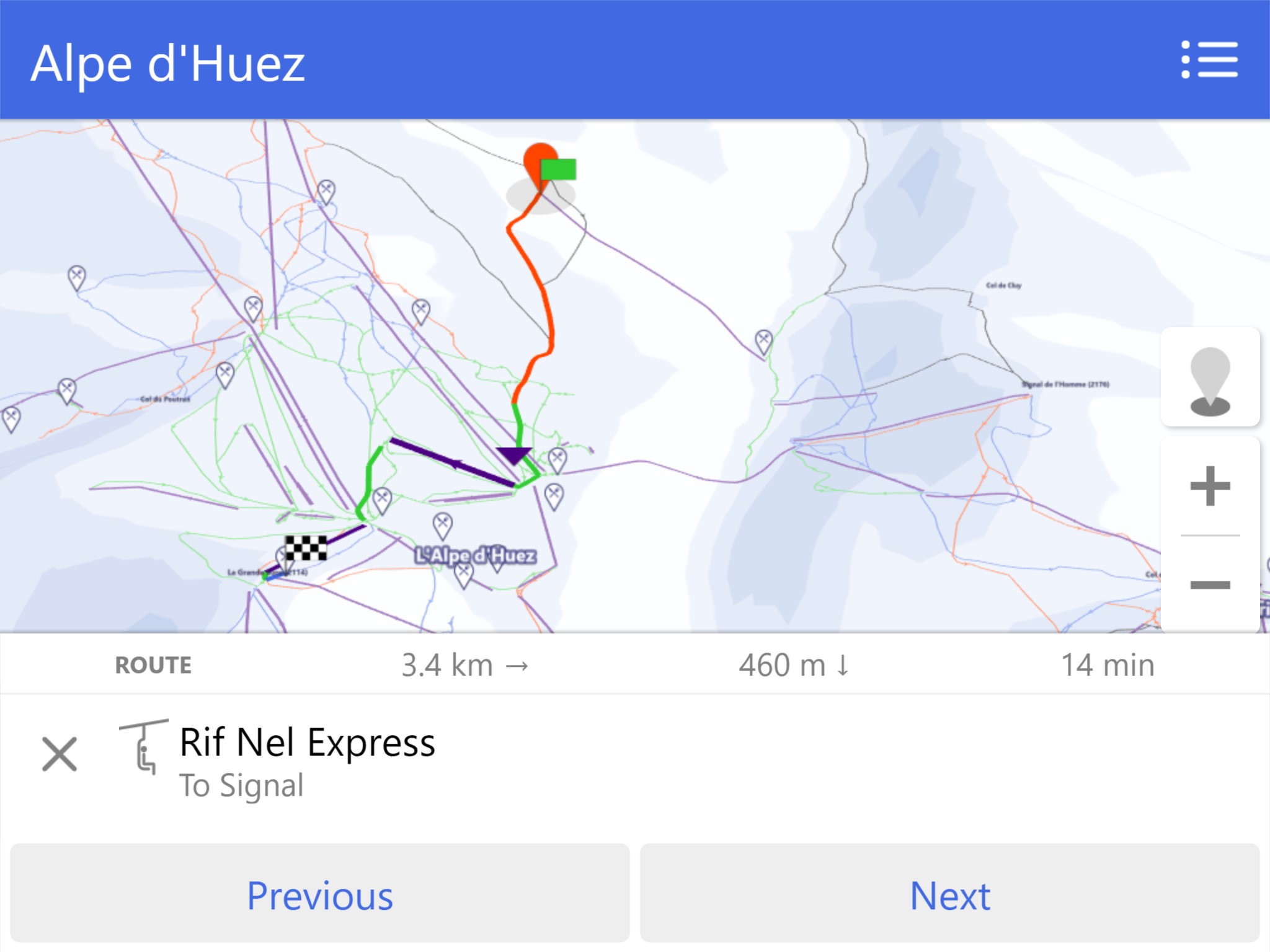
I ended up combining OSM piste data and NASA SRTM elevation data to create a 3D view of ski resorts from the same angled view as the official paper maps. Each resort has it’s own discrete map with a bounded view, which feels more appropriate than a typical map which can pan indefinitely. The result is the app Ski Nav.