dankarran's Notes
Notes submitted or commented on by dankarran
| Id | Creator | Description | Created at | Last changed | |
|---|---|---|---|---|---|
| 4202473 | rskedgell | If cycling is prohibited here, it seems odd that there is no signage to confirm this and that cycle stands have been provided. via StreetComplete_ee 57.0 Attached photo(s):
|
|||
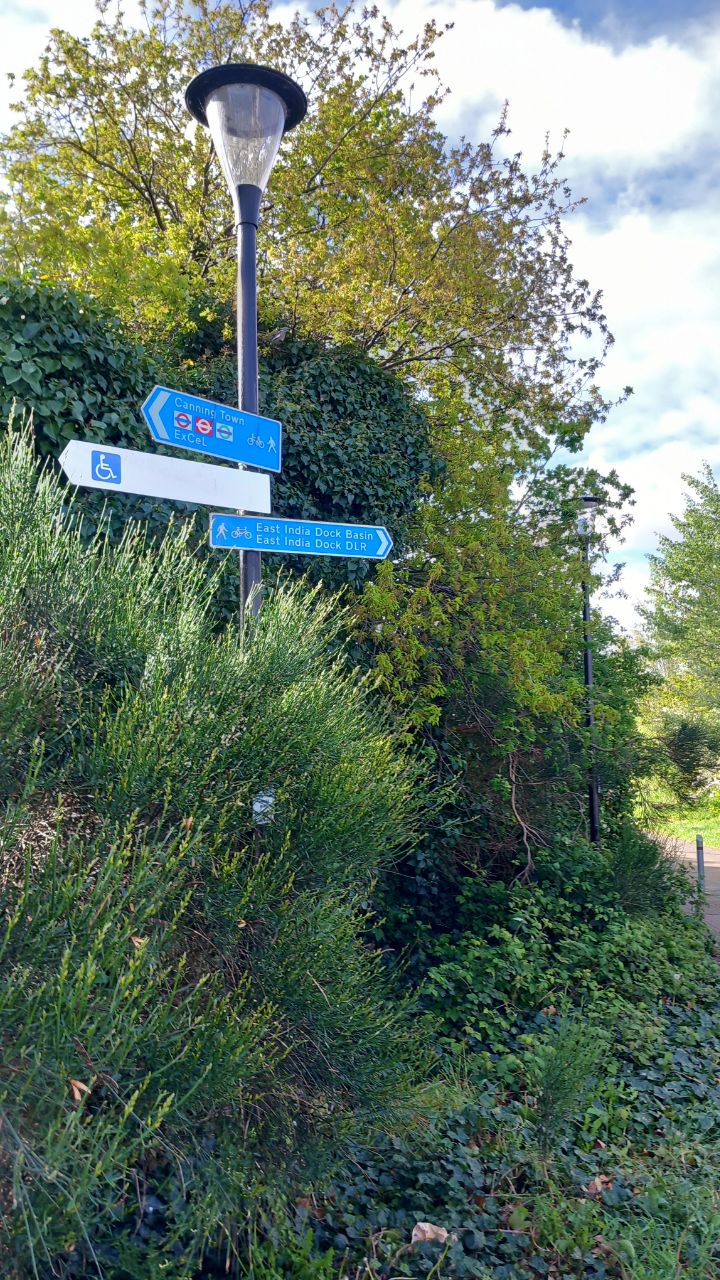
| 4202463 | rskedgell | Crossing is a toucan nor pelican. This is because it is part of a shared foot and cucle route, not foot only. A pedestrian fingerpost does not imply a prohibition of cycling. via StreetComplete_ee 57.0 Attached photo(s):
|
|||
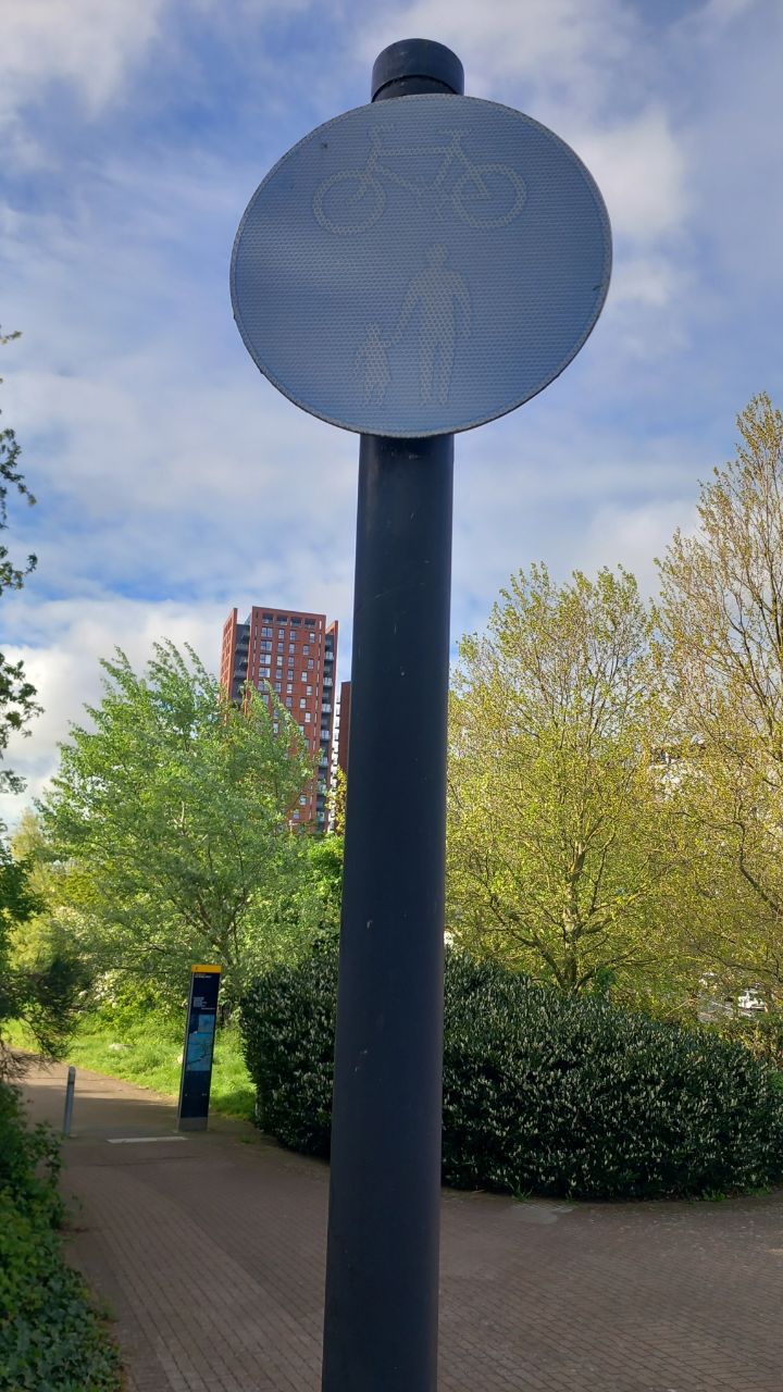
| 4202439 | rskedgell | A faded or vandalised TSRGD diagram 956 sign does not revoke the explicit authorisation of cycling. The fact that the route is explicitly signed with a fingerpost also serves to confirm this. It is not a sidewalk/pavement, so Highway Code Rule 64 does not apply. Even if it were, the explicit signage would override the general prohibition. via StreetComplete_ee 57.0 Attached photo(s):
|
|||
| 4258170 | dankarran | Lloyds Pharmacy now Clear Pharmacy? https://www.iomtoday.co.im/news/all-10-lloyds-pharmacies-to-disappear-from-the-isle-of-man-653242 |
|||
| 4266040 | dankarran | Should this bus stop be Reayrt-y-Chrink? |
|||
| 4247528 | dankarran | Pod Point charger here somewhere? Is Orchard Walk is the row of shops opposite Shopright? |
|||
| 4250716 | dankarran | What's here now? |
|||
| 3798838 | rskedgell | Newly surfaced segregated cycle track (imcomplete at A13 end). via StreetComplete_ee 53.32 Attached photo(s):
|
|||
| 4256744 | dankarran | New layout due to open tomorrow (21 May) |
|||
| 4247517 | dankarran | Pod Point charger somewhere here? |