Wulf4096's Notes
Notes submitted or commented on by Wulf4096
| Id | Creator | Description | Created at | Last changed | |
|---|---|---|---|---|---|
| 2510302 | Ralle61 | Hier ist keine Durchfahrt
via StreetComplete 29.1 Attached photo(s):
|
|||
| 2515590 | frantzius2177 | Unable to answer "What is the house number of this building?" for way/48907366 via StreetComplete 29.0: 2 4 6 8 10 12 14 |
|||
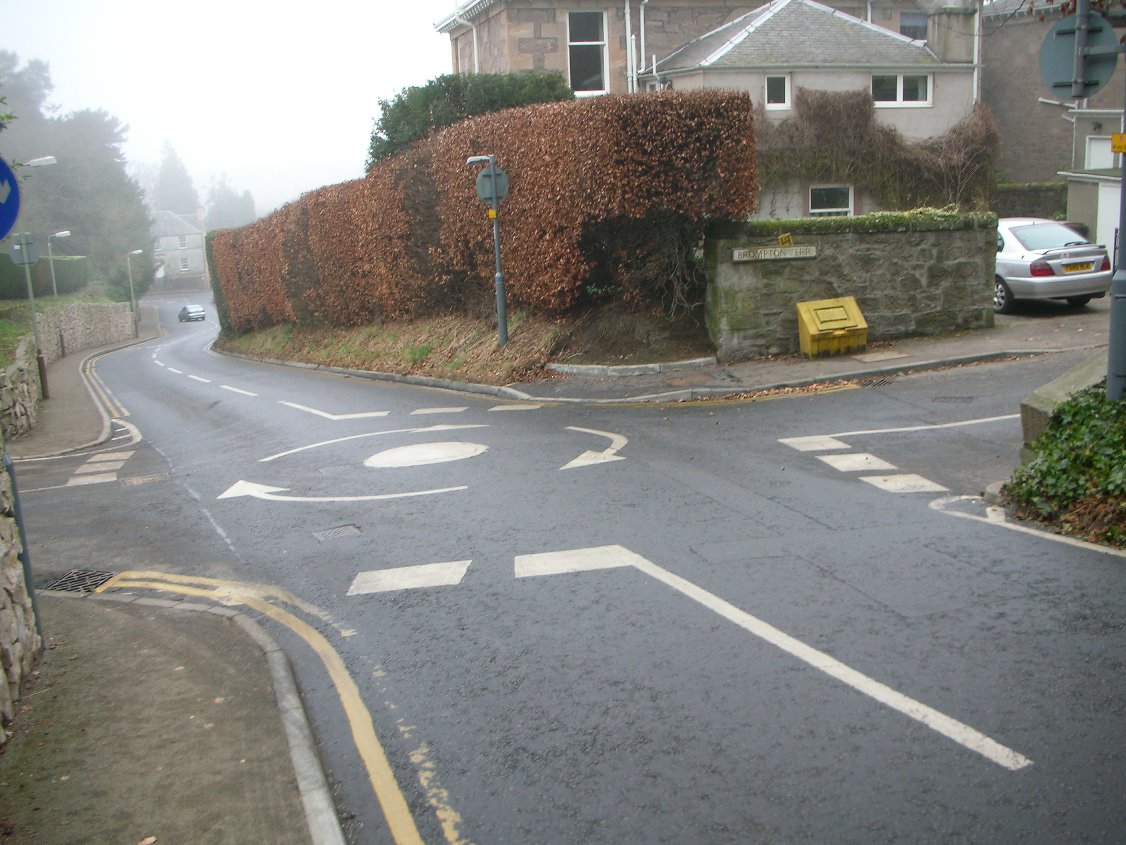
| 2503305 | KSMedia | Ist das tatsächlich ein "mini_roundabout"? Ich verstehe nämlich dadrunter sowas: https://www.sabre-roads.org.uk/wiki/images/7/75/Tiny_mini_roundabout_1_-_Coppermine_-_4700.JPG Hier ist er nämlich 'volausgestattet': https://www.mapillary.com/app/?pKey=BzQs3eSa6DyxwQyPnXCLeQ&focus=photo |
|||
| 2295914 | Dieses Haus hat die Nummer 45.
|
||||
| 2512295 | temporarily there are road works. Cars cannot pass this part - its a dead end for cars not for bikes ... |
||||
| 2512291 | this is not an oneway road! |
||||
| 2467235 | frantzius2177 | Unable to answer "What surface does this path have here?" for way/59221196 via StreetComplete 27.2: weg exisriert nicht mehr |
|||
| 2507957 | Ralle61 | Unable to answer "Does this crosswalk have tactile pavings on both sides?" for node/612772485 via StreetComplete 29.1: Hier gibt es keinen Fußgängerübergang |
|||
| 2496614 | Wolfgang Holtz | Gebäude ist abgerissen, z.Z. Brachfläche |
|||
| 2499198 | Wolfgang Holtz | Kartenebene "CyclOSM:
|