GrumpyGorilla's Notes
Notes submitted or commented on by GrumpyGorilla
| Id | Creator | Description | Created at | Last changed | |
|---|---|---|---|---|---|
| 4254508 | GrumpyGorilla | Missing trail path here the exits near the back of the Seminary |
|||
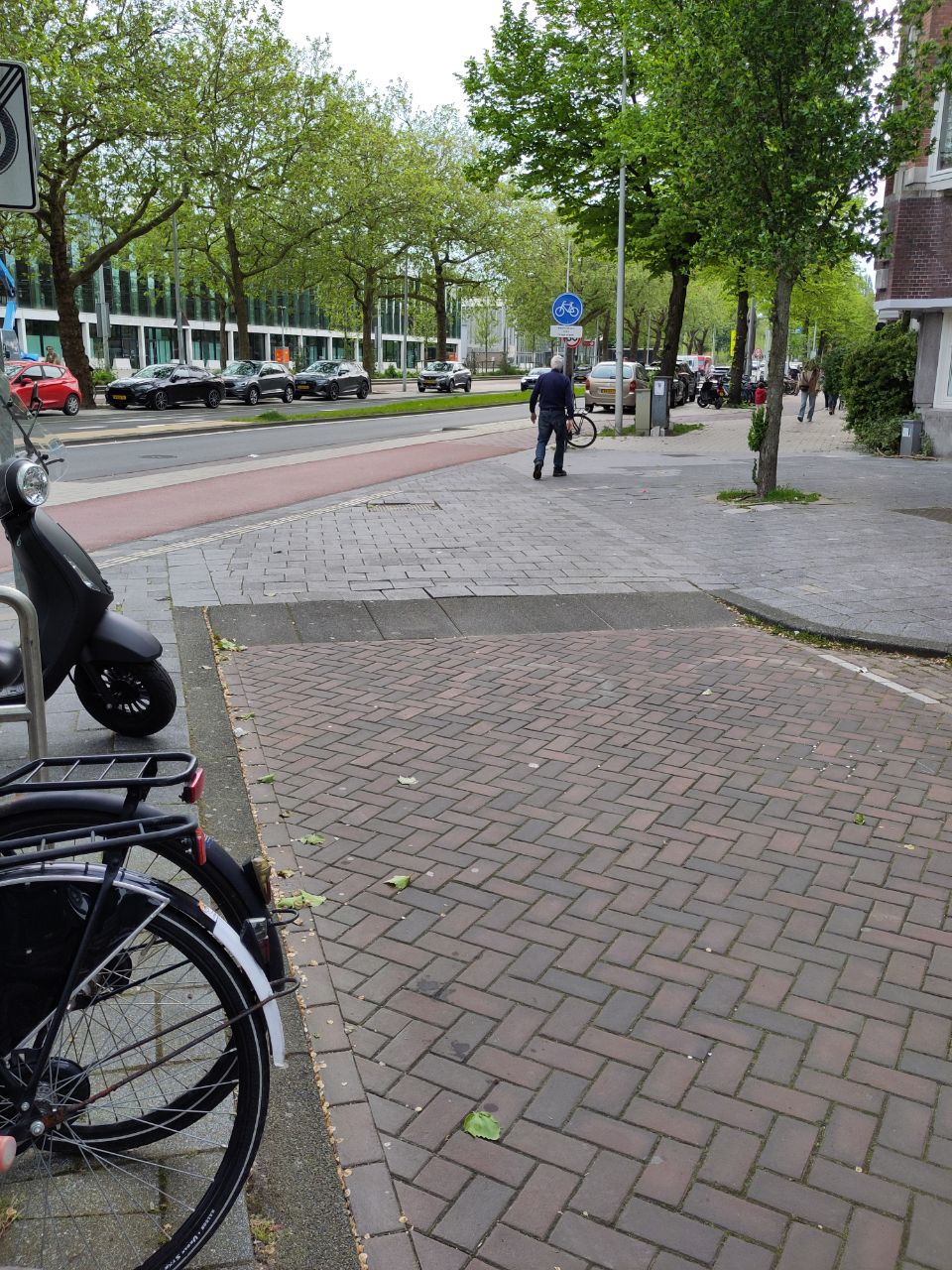
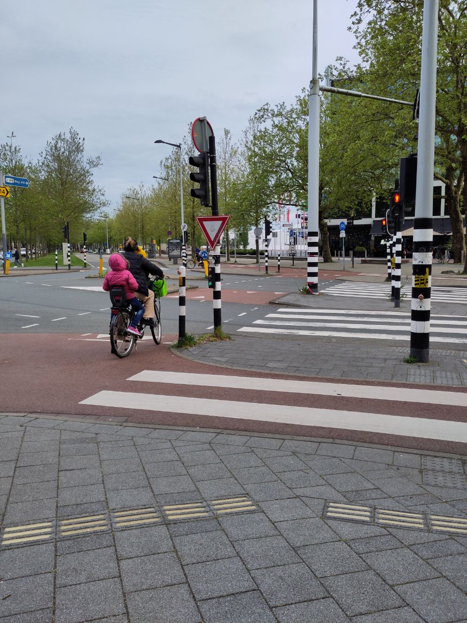
| 4235146 | GrumpyGorilla | Unable to answer "Is there a crossing here?" – node/11503495989 via StreetComplete 57.3: Cars must cross sidewalk. No crossing Attached photo(s):
|
|||
| 4233120 | GrumpyGorilla | Unable to answer "Is there a crossing here?" – node/10894773754 via StreetComplete 57.3: Road crosses pedestrian area Attached photo(s):
|
|||
| 4233129 | GrumpyGorilla | Unable to answer "Is there a crossing here?" – node/5481398816 via StreetComplete 57.3: This is a bike path (left). The street complete question seems to indicate a foot crossing. Potentially just me confusing, but want to validate. Attached photo(s):
|
|||
| 4228823 | "Just a field"
|
||||
| 4229735 | GrumpyGorilla | Another unmapped trail connects here via StreetComplete 57.2 |
|||
| 4229734 | GrumpyGorilla | I believe there are some unmapped connections here. But I didn't have time to fully survey via StreetComplete 57.2 |
|||
| 3373311 | ivanbranco | is there really a building? from aerial imagery seems like it's like many little "gazebos" for outdoor seating |
|||
| 3902050 | GrumpyGorilla | Unable to answer "What kind of building is this?" for way/556437764 via StreetComplete 54.0: Elevator |
|||
| 3919364 | GrumpyGorilla | Bike lane south of here is one way. At intersection begins two way via StreetComplete 54.0 |