Asia Pacific Hub and World Vision Bangladesh Field Mapping and Data collecion Experience.
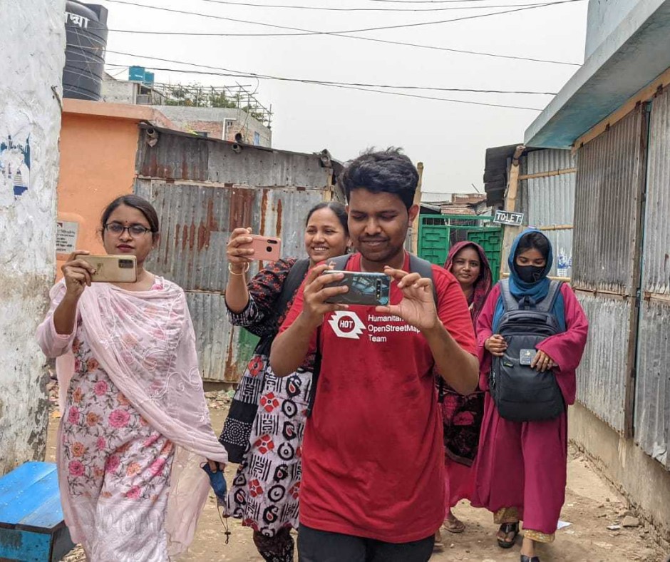 Open Mapping Guru, Brazil Singh in a field visit and data collection in Mirpur and Duaripara, Dhaka.
On Thursday 21 March 2024, I received invitation from Open Mapping Hub Asia Pacific & also brilliant Mikko Tamura, Community Manager for Asia and the Pacific at Humanitarian OpenStreetMap Team, for the coordination of OM Guru for Dhaka Field Visit & Data Collection. I was so much exited, and I accepted the invitation instantly. And then I got the news about the guests who are coming to Bangladesh and they were Can Unen, Senior Manager for Community & Partnerships, Humanitarian Openstreetmap Team , Honey Grace Fombuena, GIS AnalystGIS Analyst, Humanitarian OpenStreetMap Team and Harry Mahardhika Machmud, Senior Program Manager for Asia-Pacific at Humanitarian OpenStreetMap Team
 ## Why This Matters
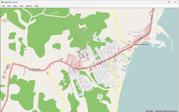 Figure 1: Cap-aux-Meules, before starting the project—Historical OSM data as of June 30, 2023, on Maperitive.
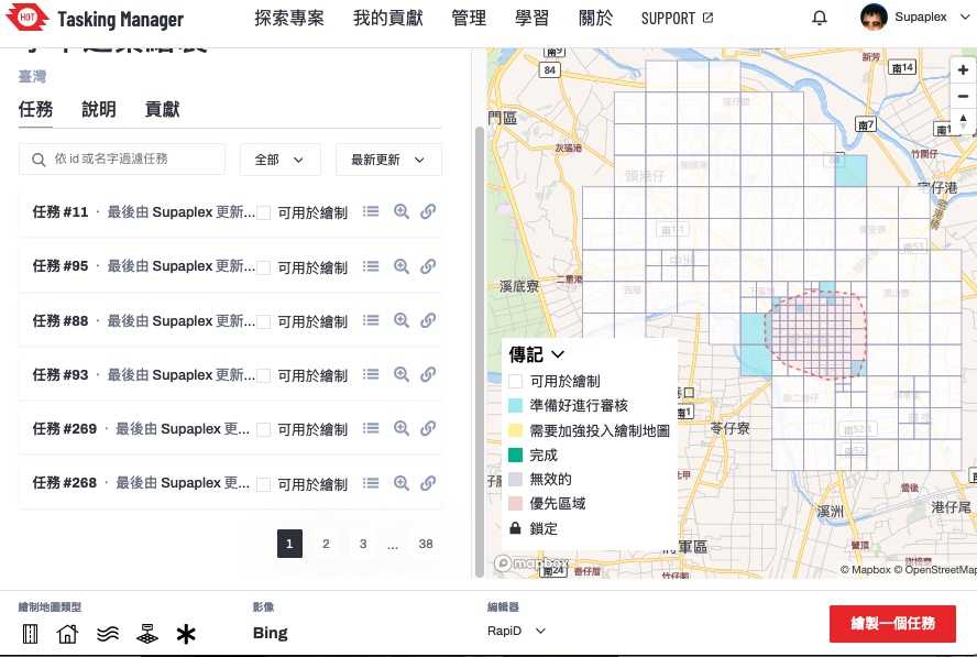 ▲ Tasking Manager 的專案,本次要繪製的範圍台南學甲區